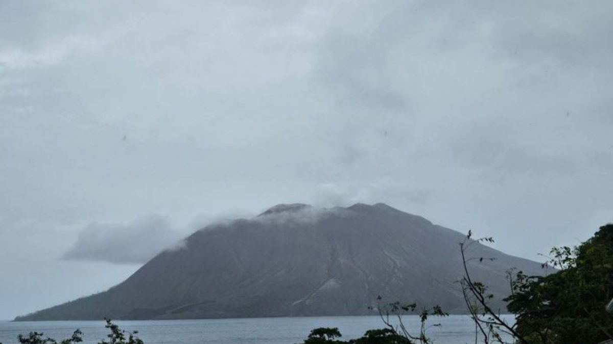
JAKARTA - The Geological Agency of the Ministry of Energy and Mineral Resources (ESDM) noted that Mount Ruang experienced 20 gusts.
Head of the Center for Volcanology and Geological Hazard Mitigation, P Hadi Wijaya said, the incident on the mountain was located in Sitaro Islands Regency, North Sulawesi (Sulut), which occurred for the period 16-31 July 2024. "It was also recorded as many as six shallow volcanic earthquakes, 11 times the deep volcanic earthquake, three times the local tectonic earthquake, one time the earthquake was felt on a scale II MMI with an amplitude of 55 millimeters and 54 times the distant tectonic earthquake," he said in a statement, Tuesday, August 6, confiscated by Antara. From the evaluation results, in general, the volcanic earthquake of Mount Ruang tended to be low, more dominated by tectonic earthquakes which were estimated to be affected by North Sulawesi subduction and double subduction in the Maluku Sea. After the eruption on April 30, 2024, the activity of Mount Ruang experienced a decline.
The crater smoke was observed to be white with moderate intensity, weak pressure and a tendency for altitude in the range of 100-400 meters above the crater peak.
SEE ALSO:
The English, Chinese, Japanese, Arabic, and French versions are automatically generated by the AI. So there may still be inaccuracies in translating, please always see Indonesian as our main language. (system supported by DigitalSiber.id)


