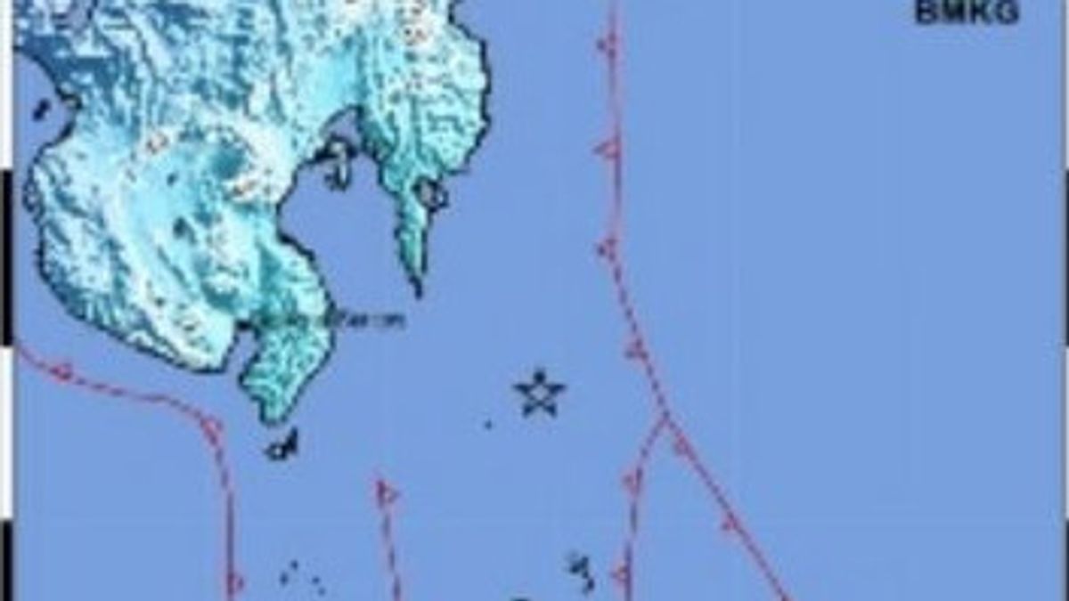


JAKARTA - The Meteorology, Climatology and Geophysics Agency (BMKG) reported that an earthquake measuring magnitude (M) occurred in Karatung, North Sulawesi (Sulut), Friday, March 8.
The earthquake with a depth of 141 kilometers was centered on the sea west of Karatung Island or 110 kilometers northwest of Karutang.
Based on the infoBMKG application system via Antara, the tremors of the earthquake were felt by people in the Talaud Islands Regency with a scale of III MMI.
However, the BMKG team is still conducting a temporary analysis of detecting whether the earthquake has the potential for a tsunami or not.
BMKG has also not reported in detail regarding the triggers and impacts caused by the earthquake on the community.
The BMKG appealed to remain calm and not be influenced by issues that cannot be justified, until the results of the analysis of the official comprehensive events were reported by the BMKG.
SEE ALSO:
-
 | BERITA
Komisi III DPR Terima Aduan PT Tri Bakti Sarimas Terkait Adanya Intimidasi Hukum
07 Maret 2024, 15:08 -
 | BERITA
Heboh Video Noel vs Deddy Sitorus, Perang Mulut di TV Nyaris Adu Jotos
06 Maret 2024, 20:55


The English, Chinese, Japanese, Arabic, and French versions are automatically generated by the AI. So there may still be inaccuracies in translating, please always see Indonesian as our main language. (system supported by DigitalSiber.id)


