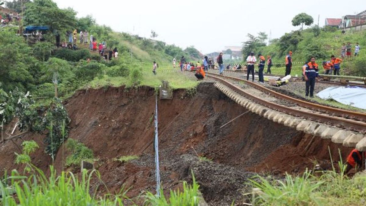
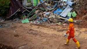
JAKARTA - The Geological Agency of the Ministry of Energy and Mineral Resources (ESDM) reports that 60 percent of Java's islands are most vulnerable to ground movement compared to other islands in Indonesia. "The distribution of landslides in Indonesia is 60 percent on the island of Java. Java island is indeed very vulnerable," said Head of the Geological Agency of the Ministry of Energy and Mineral Resources Sugeng Mujiyanto, quoted by ANTARA, Friday, March 31. Throughout 2021, the incidence of ground motion in Indonesia was recorded at 1,09191 incidents and caused 357 deaths. In 2022, he continued, landslide events in Indonesia reached 1,085 incidents and resulted in 210 deaths. Meanwhile, for the period January 1, 2023 to March 24, 2023, he said, there were 215 incidents of ground movement that killed 84 people. Head of Center for Volcanology and Geological Hazard Mitigation (PVMBG) Hendra Gunawan explained that the topology of Java Island was many clumpy and steep, especially West Java Province. This has caused Java Island to be vulnerable to experience land movement events. In addition, he continued, the level of volcanic rock weathering is also numerous on the island of Java. The volcanic rock is quite a range when interacting with quite high rainfall. "If this interacts with slope conditions, rock conditions, and rainfall conditions, then this is what triggers ground movement," said Hendra. Not only that, the densely populated island of Java also contributes to the number of soil movements. This condition occurs because slopes that have the potential for land movement to occur have become a residence for population. Whereas the incidence of ground motion has a break of 10, 20, even 30 years. Even 30 years. "When people live there is no ground movement, it does not mean that within 20 to 30 years there will not occur (earth movement)," explained Hendra. he said global warming also exacerbated the occurrence of ground motion in a region because extreme weather increases the volume of rainfall.
また読む:
Therefore, the Geological Agency always records all incidents of ground movement that occur in every region in Indonesia and makes approximate maps on a more adequate scale. The estimated map of the land movement is published every month with information distribution being sent to all regents and also through the official website of the Geological Agency.
The English, Chinese, Japanese, Arabic, and French versions are automatically generated by the AI. So there may still be inaccuracies in translating, please always see Indonesian as our main language. (system supported by DigitalSiber.id)
