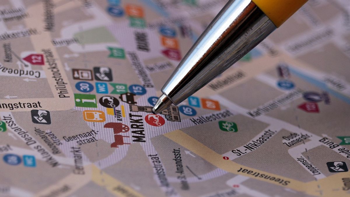


YOGYAKARTA An application to create a location plan allows someone to make plans more quickly, clearly, and accurately.
Applications to create location plans are generally equipped with various features that make it easier for users to create detailed and interesting plans. You can add symbols, colors, and text to clarify the information you want to convey.
So, what applications can be used to make location plans? Compiled from various sources, Saturday, June 29, 2024, see the full information below.
1. Map Marker
The application option to create the first location plan is Map Marker. Aplikadi has a map marker feature, so the location plans made have more detailed output.
Not only that, the Map Marker application also provides storage features related to editing results. The presence of this feature can save time and energy.
Later, the location plan made with this application can be shared through share capture image to various media.
SEE ALSO:
-
 | TEKNOLOGI
Kominfo Ungkap Masalah Judi Online Tidak Akan Tuntas, Ini Alasannya!
28 Juni 2024, 17:15


2. My Maps
My Maps is one of the quite popular location planrs applications. This application can be used easily and for free.
Through My Maps, users can add markers, lines, and shapes to mark important locations. The location can be created directly on the Spreadsheet.
Users of this application can also add images, search at certain places, to make plans directly with the spreadsheet media.
In addition, users can also integrate plans with Google Maps so that they can be accessed by anyone.
3. Google Maps
Google Maps is a navigation application or directional guide that is very easy to use. This application is a reference for many groups and agency institutions, because it has very good accuracy with the addition of locations that are always updated.
With Google Maps, the small alley roads in remote areas can be clearly and well described. This application is also equipped with the Street View feature which makes it easier for users to travel.
In addition to being used as a guide, Google Maps can also be an application to make location plans.
The method is quite easy, users can select the default option on the map type. Then select the traffic in the map details.
The next step, scroll or scroll cover the map you want to put into the plan. Make sure the names of important buildings are visible.
Finally, screenshots and edits with cropping and add wind direction. The domain of the created location can be printed as needed.
4. Canva
More known as a graphic design application, Canva can apparently be used to create location plans. In this application there is a template that allows users to make location plans more easily.
How to draw location plans via Canva is also quite easy. Users can enter text, shape objects, create an art line, and replace it according to their wishes and needs.
5. Smartdraw
SmartDraw is a paid app that offers complete features to create various types of diagrams, including location plans.
This app is suitable for users who need more details on their plans, such as building plans or industrial estates. SmartDraw also supports integration with other apps such as Microsoft Office and Google Workspace.
That's information about applications to create location plans. Get other selected news updates only on VOI.ID.
The English, Chinese, Japanese, Arabic, and French versions are automatically generated by the AI. So there may still be inaccuracies in translating, please always see Indonesian as our main language. (system supported by DigitalSiber.id)


