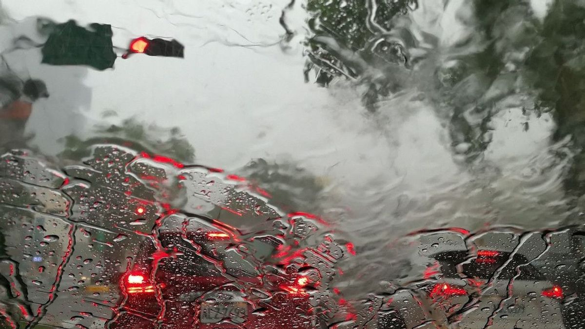


JAKARTA - BMKG Deputy for Meteorology Guswanto said the phenomenon of hail reported on Wednesday, July 3, hit the area of Bejahan Village, Sawangan District, Depok, which was accompanied by heavy rain accompanied by strong winds.
Based on the analysis of the BMKG meteorological team, this phenomenon is caused by the presence of a Cumulonimbus (CB) cloud formed due to a fairly strong lifting or convective force in the Sawangan area and its surroundings.
According to Guswanto, this phenomenon previously began with a condensation of water vapor which was very cold through the atmosphere at the top of the frozen level so that the ice formed generally had a large size.
SEE ALSO:
-
 | BERITA
3 Warga Negara Swedia Divonis Hukuman Mati di Iran dalam Kasus Penembakan
04 Juli 2024, 19:42


Then when a large collection of ice in the atmosphere drops to a lower and warmer area, it rains. It's just that, he stressed, sometimes not all ice will melt perfectly and make it hail, where the peak temperature of CB clouds reaches minus 80 degrees Celsius.
According to him, the dynamics of the regional - global scale atmosphere which is quite significant is also a driving factor for rain even though the current status has entered the dry season.
For example, the active activities of the Madden Julian Oscillation (MJO) phenomenon, the Kelvin Wave and the Equatorial Rossby in most parts of Java. Even in Kalimantan, Sulawesi, Maluku Islands, and most of Papua.
However, despite the potential for rain, Guswanto still reminded the public not to heed the dangers of drought when the peak of the dry season is predicted to fall on the second basis of July - September 2024.
"So it would be better if the existing rain was used to save water so that it has reserves when the peak of the dry season hit our territory later," he said.
The English, Chinese, Japanese, Arabic, and French versions are automatically generated by the AI. So there may still be inaccuracies in translating, please always see Indonesian as our main language. (system supported by DigitalSiber.id)
Popular


