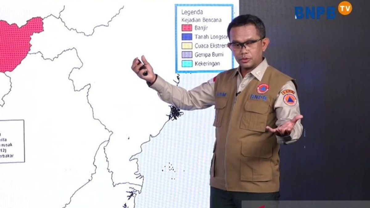
JAKARTA - The National Disaster Management Agency (BNPB) revealed that the reason for the flooding that often stagnates in a number of areas in Kalimantan occurred for quite a long time.
"This Kalimantan is when our dry season is alert to forest fires, when the rainy season almost all provinces are prone to flooding with a long duration along the Watershed (DAS) or an ecosystem that has been eroded or damaged," said Head of the BNPB Disaster Data, Information and Communication Center Abdul Muhari at the Disaster Briefing event which was followed online in Jakarta, Antara, Monday, December 11.
Aam explained that the river conditions in Kalimantan and other areas are very different. Generally, rivers on the island are very long for thousands of kilometers and winding.
However, the length of the river in Kalimantan, he said, was not accompanied by a significant difference in upstream and downstream heights of the river. Where the difference in height is generally no more than 20 meters.
"So if the rainfall is high upstream, followed by tides downstream, then this relative water will not move," he said.
Aam said the relatively long inundation was also caused by a lack of capacity, if along the watershed there was deposition or sedimentation.
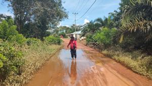
Based on data compiled by BNPB, in the past week floods have occurred in a number of areas in West Kalimantan, namely Kapuas Hulu Regency and Ketapang Regency.
In Kapuas Hulu Regency, as many as 25,263 people with 8,320 families were affected by the flood. The flood also submerged around 1,110 houses and 128 public facilities spread across 30 villages and two sub-districts in seven sub-districts of Kapuas Hulu Regency.
Meanwhile, in Ketapang Regency, flooding affected 6,603 residents. In fact, a number of areas in Ketapang Regency such as Nanga Tayap, Sadai, Hulu Sungai, Tumbang Titi, Sungai Laur, and Muara Pawan were flooded with water levels reaching 200cm.
For this reason, Aam reminded the public, especially those around the watershed in Kalimantan, to be careful and alert to the threat of flooding that could come at any time.
SEE ALSO:
The English, Chinese, Japanese, Arabic, and French versions are automatically generated by the AI. So there may still be inaccuracies in translating, please always see Indonesian as our main language. (system supported by DigitalSiber.id)
Most Popular Tags
#Prabowo Subianto #New Year #airplane accident #Hasto Kristiyanto #nataru #squid game 2Popular
03 Januari 2025, 06:15
03 Januari 2025, 00:02
03 Januari 2025, 07:35
03 Januari 2025, 04:00


