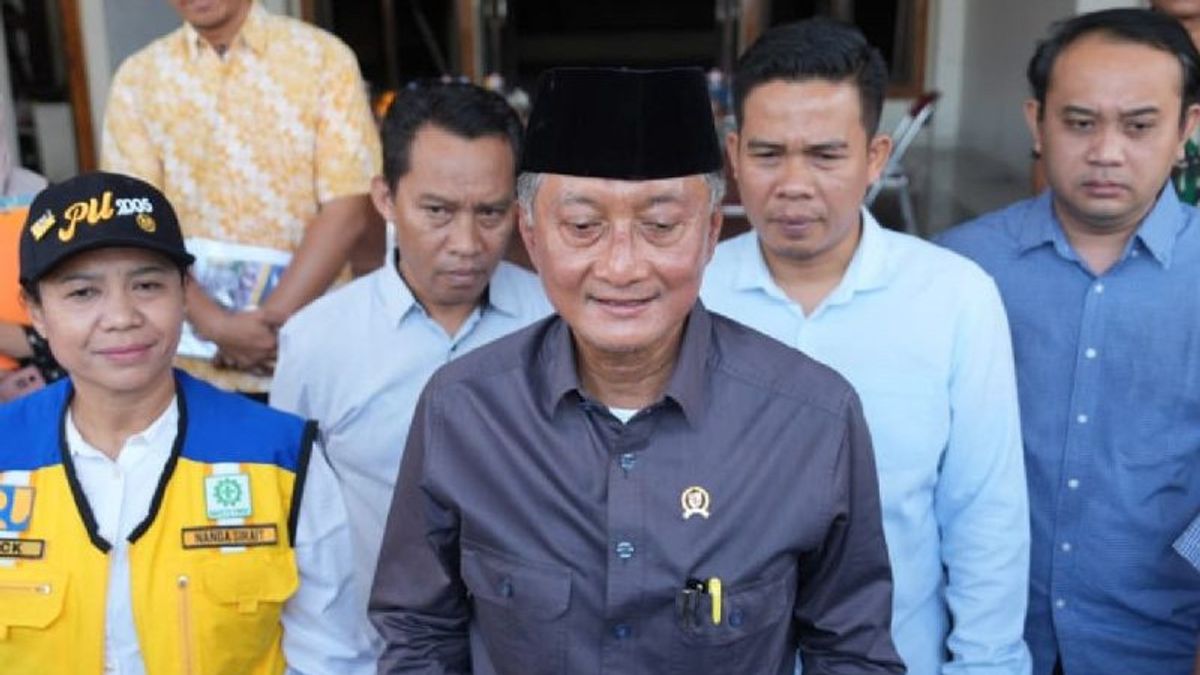


JAKARTA - Minister of Public Works (PU) Dody Hanggodo revealed that the cause of the floods that hit a number of areas of Bali some time ago.
"The problem is all kinds of things, really, that. From the upstream it has been damaged, then the river is narrowing," said Basuki when met by reporters at the Parliament Complex, Senayan, Jakarta, Monday, September 15.
Therefore, Dody said, his party will discuss problems and find solutions with the Governor of Bali I Wayan Koster.
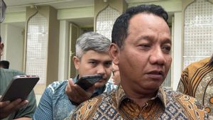
"I want to discuss it with Mr. Koster, maybe in a few weeks," he said.
When asked further whether there will be a retention column or dam on the Island of the Gods, Dody said there is a possibility.
"Well, I want to discuss that with Mr. Koster. At the beginning of next month I will go to Bali," he concluded.
Previously, Bali was hit by a large flood on Wednesday, September 10, 2025. As a result, dozens of people died.
Citing the official website of the Meteorology, Climatology and Geophysics Agency (BMKG), Monday, September 15, Bali floods have become the worst flood phenomenon in a decade. It is known, the flood has submerged Bali for two days, from September 9 to 10, 2025.
It was recorded that there were seven regencies/cities with more than 120 flood points. Denpasar City is the area with the highest number of points reaching 81 points, followed by Gianyar 14 points, Badung 12 points, Tabanan eight points, Karangasem and Jembrana four points each and Klungkung in Dawan District.
BMKG reported extreme daily rainfall which was the main trigger for the massive flood.
If light rainfall is only 5-20 mm per day, the rainfall in Bali could reach more than 300 mm.
Based on the BMKG criteria, rain is divided based on the amount of rainfall. The lowest rainfall is at 5-20 mm per day and heavy rain reaches 5-100 mm per day.
Rain in Bali itself is included in the category of very heavy rain with more than 100 mm per day.
In Jembrana, rainfall was recorded at 385.5 mm, followed by Tampak Siring 373.8 mm, Karangasem 316.6 mm, Klungkung 296 mm and Abiansemal 284.6 mm. In fact, several other points such as West Denpasar, Petang, Kerambitan and Padangbai also recorded rainfall above 200 mm per day.
According to the Head of BMKG Dwikorita Karnawati, the intensity of Bali's extreme rain was triggered by a combination of regional and local factors.
"The Madden-Julian Oscillation (MJO) activity, the active Kelvin and Rossby equatorial waves, together with unstable atmospheric conditions in Bali, increases the risk of massive convective cloud formation," he explained.
SEE ALSO:
-
 | EKONOMI
Berakhir 16 September, PTFI Belum Ajukan Kembali Izin Ekspor Konsentrat Tembaga
15 September 2025, 23:24 -
 | EKONOMI
Kepala Otorita: Intiland-Nindya Karya Mau Garap Proyek di IKN, Nilainya Rp19,8 Triliun
15 September 2025, 23:10
Selain akibat dinamika atmosfer tersebut, BMKG juga menyoroti faktor lingkungan dan infrastruktur.
Sistem drainase di beberapa wilayah dinilai belum mampu menyalurkan volume air hujan sangat besar.
"Diperburuk oleh sedimentasi dan sampah yang menyumbat saluran air. Alih fungsi lahan dari area resapan menjadi permukiman dan komersial juga mengurangi kemampuan tanah menyerap air, sehingga risiko genangan semakin tinggi," ungkapnya.
SEE ALSO:
-
| EKONOMI
Berakhir 16 September, PTFI Belum Ajukan Kembali Izin Ekspor Konsentrat Tembaga
15 September 2025, 23:24 -
| EKONOMI
Kepala Otorita: Intiland-Nindya Karya Mau Garap Proyek di IKN, Nilainya Rp19,8 Triliun
15 September 2025, 23:10
In addition to the dynamics of the atmosphere, BMKG also highlighted environmental and infrastructure factors.
The drainage system in several areas is considered unable to distribute very large volumes of rainwater.
"It is exacerbated by sedimentation and garbage that clogs waterways. The conversion of land functions from infiltration areas to settlements and commercial areas also reduces the ability of the soil to absorb water, so that the risk of inundation is higher," he said.
The English, Chinese, Japanese, Arabic, and French versions are automatically generated by the AI. So there may still be inaccuracies in translating, please always see Indonesian as our main language. (system supported by DigitalSiber.id)


