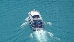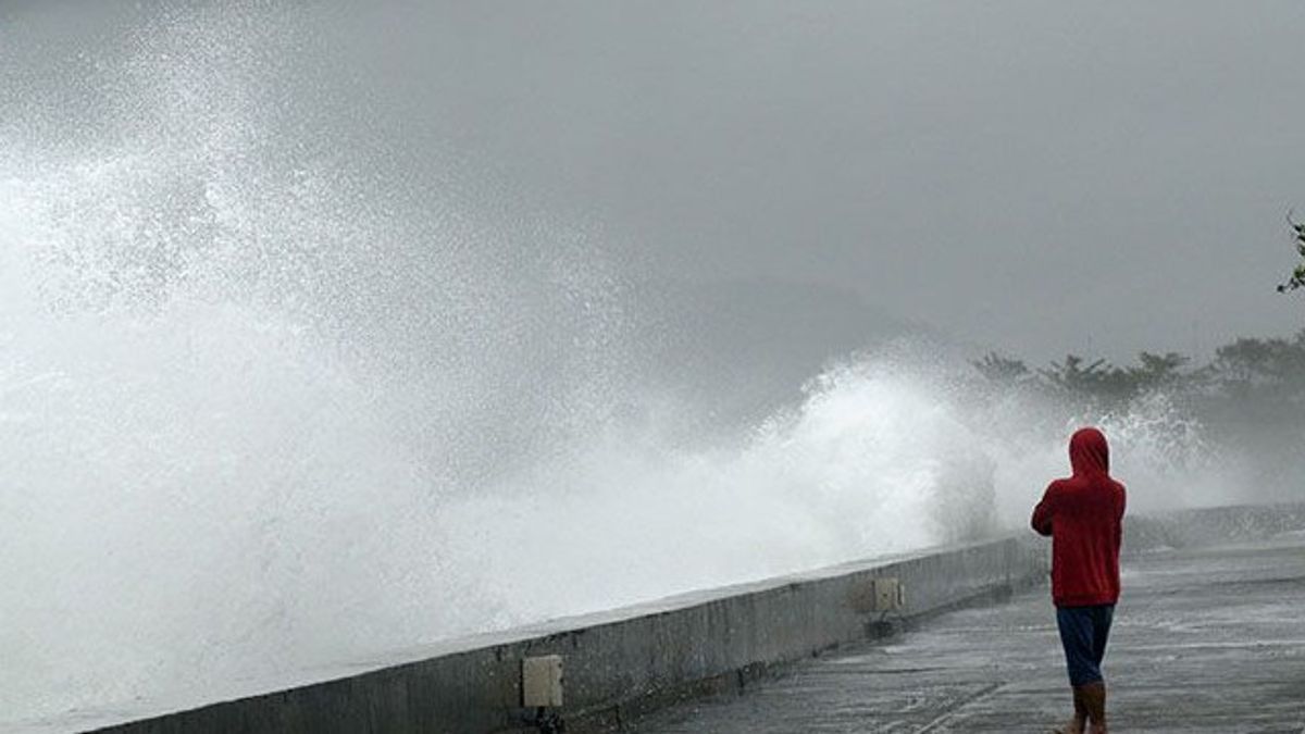


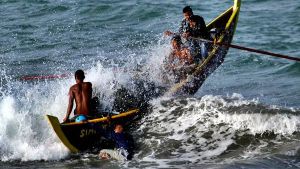
JAKARTA - The Meteorology, Climatology and Geophysics Agency (BMKG) appealed to coastal communities to be aware of the potential for high waves of up to four meters in several water areas on August 11-12 2023.
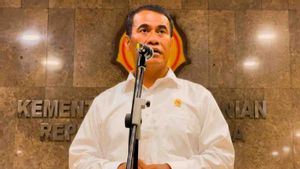
"We ask people who live and work on the coast around areas where high waves are likely to occur to remain vigilant," said Head of the Center for Maritime Meteorology, BMKG, Eko Prasetyo, quoted by ANTARA, Friday 11.
He said the wind pattern was one of the causes of opportunities for high wave increase.
He said the wind pattern in the northern part of Indonesia was dominantly moving from the southeast-southwest with wind speeds ranging from 6-25 knots, while in the southern part of Indonesia it was dominantly moving from the east-east with wind speeds ranging from 8-30 knots.
"The highest wind speed was observed in the Banda Sea, Fakfak-Kaimana waters, Amamapere waters, Kai-Kep. Aru waters, Arafuru Sea and Merauke waters," he explained.
This condition, he continued, led to opportunities for an increase in waves as high as 1.25-2.5 meters in the northern part of the Malacca Strait, southern Lampung Bay, southern Sape Strait, Sumba Strait, P. Sawu-P waters. Rote-Kupang, Ombai Strait, Sawu Sea, southern Flores waters, Natuna Sea, Karimata Strait, southern Kalimantan waters, Java Sea, Kotabaru waters, Makassar Strait, Kep. Selayar waters.
Then, Flores Sea, Baubau-Kep waters. Wakatobi, Manui-Kendari waters, Kep. Banggai-Kep. Sula, western Sulawesi Sea, waters Kep. Sangihe-Kep. Talaud, Maluku Sea, Bitung-Kep waters. Sitaro, southern waters of North Sulawesi, waters of Halmahera, Hamahera Sea, Biak-Jayapura North Pacific Ocean, Seram Sea, waters of P. Buru-P. Seram, Banda Sea, waters of Kep. Kai-Kep. Aru, waters of southern Sorong, northern waters of Jayapura, waters of Fakfak-Amapare and the North Pacific Ocean of Halmahera.
Meanwhile, in higher waves in the range of 2.5-4 meters, it is likely to occur in the waters north of Sabang, the western waters of Aceh-Kep. Mentawai, waters of P. Enggano-Bengkulu, western waters of Lampung, West Indian Ocean Sumatra, the western and southern Sunda Strait, southern waters of P. Java-Sumba, Bali Strait, Lombok, southern Alas, South Indian Ocean Java-Sawu, southern waters of Tanimbar Island, the central and western Arafuru Sea.
"The potential for high waves in some areas could pose a risk to shipping safety," he said.
اقرأ أيضا:
-
 | BERITA
Nelayan Hilang Akibat Kapalnya Pecah Ditabrak di Perairan Babel Ditemukan Meninggal
10 Agustus 2023, 20:32 -
 | BERITA
Potensi Gelombang Setinggi 4 Meter di Utara Jayapura, BMKG Minta Nelayan Lokal Waspada
08 Agustus 2023, 20:29 -
 | TEKNOLOGI
Teleskop James Webb Tangkap Gambar Nebula Cincin, Bintang Sekarat Mirip Donat
07 Agustus 2023, 18:12


Therefore, he appealed to the public to always be vigilant, especially for fishermen who are active in transportation modes such as fishing boats (wind speeds of more than 15 knots and wave heights above 1.25 m), barges (wind speeds of more than 16 knots and wave heights above 1.5 m).
Then, ferries (wind speeds of more than 21 knots and wave heights above 2.5 m), large ships such as cargo ships/cruise ships (wind speeds of more than 27 knots and wave heights above four meters)
The English, Chinese, Japanese, Arabic, and French versions are automatically generated by the AI. So there may still be inaccuracies in translating, please always see Indonesian as our main language. (system supported by DigitalSiber.id)
العلامات الأكثر شيوعًا
#Prabowo Subianto #السنة الجديدة #يوم الأم #ناتارو #عيد الميلادجمع