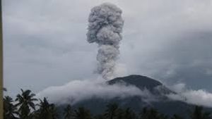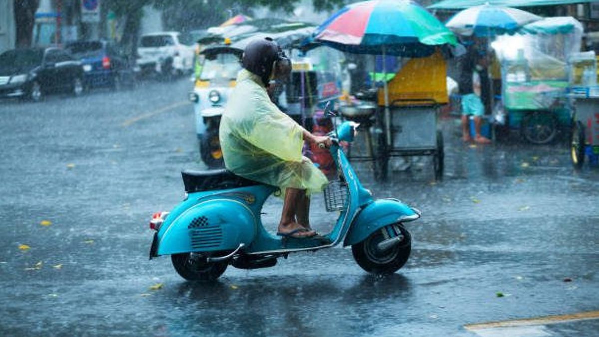


JAKARTA - BMKG estimates that high intensity rain accompanied by strong winds has the potential to flush most areas in Indonesia, including DKI Jakarta and West Java (West Java).
BMKG forecaster Idhan Abubakar said the weather was triggered by tropical cyclone Saola moving in eastern waters of the Philippines.
"Areas that have the potential for heavy rain accompanied by lightning or lightning are also strong winds in Aceh, North Sumatra, West Sumatra, Bengkulu, Jambi, South Sumatra, Banten, DKI Jakarta, West Java, West Kalimantan, North Kalimantan, East Kalimantan, North Maluku, Maluku, West Papua and Papua," he said in a written statement, Sunday, August 27, confiscated by Antara.
He explained that the cyclone has a maximum wind speed of 85 knots or the equivalent of 155 kilometers per hour with a minimum air pressure of 955 millibars moving south.
"This condition is able to increase the potential for rain cloud growth, increase wind speed, and wave height around the tropical cyclone region," he said.
The Saola tropical cyclone has an indirect impact on the weather in Indonesia in the form of sea waves with a height of 1.25 to 2.5 meters and heavy rain.
The deceleration of wind speed or convergence has been observed extending from the western region of the Indian Ocean in West Sumatra to Aceh, South China Sea, from West Kalimantan to the northern waters of Kalimantan, from the Makassar Strait to the Sulawesi Sea, Maluku Sea, and central Papua.
Idhan said that this condition was able to increase the potential for rain cloud growth along the convergence area.
An increase in the surface wind speed of more than 25 knots was observed in the Indian Ocean south of West Nusa Tenggara to south of East Nusa Tenggara, from the Karpentaria Bay to the Flores Sea, from the Arafuru Sea to the Maluku Sea.
Then, the Aru Sea to the Seram Sea, from the Halmahera Sea to the Philippine Sea, from the Gulf of Thailand to the South China Sea, and the southern Philippines which is able to increase wave heights in the surrounding waters.
관련 항목:
-
 | BERITA
Demokrat Nilai Wacana Ganjar-Anies Sengaja untuk Pecah Belah Koalisi Perubahan
25 Agustus 2023, 14:31 -
 | BERITA
Ingin UU ITE Direvisi, Anies: Dikritik Jangan Marah, Tinggal Jawab Aja Kritiknya
24 Agustus 2023, 19:46

Meanwhile, the narrower weather forecast in big cities, BMKG predicts that the majority of the sky conditions today are cloudy to light rain.
Banda Aceh and Pangkal Pinang are predicted to be cloudy to cloudy. Then in Medan, Pekanbaru, Tanjung Pinang tomorrow is predicted to rain with light intensity.
Bengkulu is predicted to be cloudy, while Jambi and Palembang are predicted to be foggy, while in Padang and Bandar Lampung it will be light rain.
Turning to Java, BMKG predicts Serang, Bandung, Semarang, Yogyakarta, and Surabaya to be cloudy. Meanwhile, Jakarta is predicted to have light rain.
Kemduian, Denpasar, Mataram, and Kupang are predicted to experience cloudy weather to cloudy skies.
For Kalimantan areas such as Banjarmasin City, it is predicted that there will still be smoke, while Palangka Raya and Samarinda are predicted to be cloudy to thick cloudy. Pontianak is predicted to have light rain and Tanjung Selor thunderstorms.
Then on Sulawesi Island, BMKG predicts that the weather conditions in Palu and Mamuju will experience light rain. Then, Makassar, Gorontalo, Manado, and Kendari have the potential to be cloudy to cloudy.
In the Maluku Islands and Papua, light rain is dominated, namely Ambon, Manokwari, and Jayapura. The prediction of thick clouds is only in Ternate.
The English, Chinese, Japanese, Arabic, and French versions are automatically generated by the AI. So there may still be inaccuracies in translating, please always see Indonesian as our main language. (system supported by DigitalSiber.id)