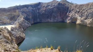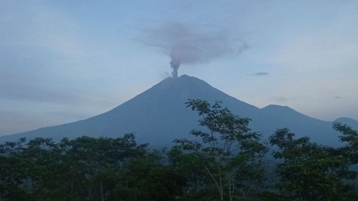


JAKARTA - Mount Semeru, which has an altitude of 3.676 meters above sea level (masl) in Lumajang Regency, East Java, has erupted again accompanied by a sound of eruption (rumbling) and avalanches.
The eruption of Mount Semeru occurred several times on Tuesday morning, January 17. Starting at 05.09 a.m. Western Indonesian Time (WIB), then at 05.36 a.m. WIB, and at 06.17 a.m. WIB.
In a written report from the Officer of the Semeru Volcano Observation Post (PPGA) on Mount Sawur, Ghufron Ali stated that an eruption of Mount Semeru occurred on January 17, 2023 at 05:09 a.m. WIB with a column height of ash observed around 700 meters above the peak.
"The ash column was observed to be white to gray with moderate to thick intensity towards the north. The eruption was recorded on a seismograph with a maximum amplitude of 22 mm and a duration of 148 seconds," he said.
Then the eruption occurred at 05.36 a.m. WIB with the height of the ash column being observed around 1.000 m above the peak. The ash column was observed to be gray to brown with moderate to thick intensity to the west.
At 06.17 a.m. WIB there was an eruption with the height of the ash column being observed around 600 meters above the peak and the ash column being observed to be white to gray with thick intensity to the north. The eruption was recorded on a seismograph with a maximum amplitude of 24 mm and a duration of 100 seconds.
Head of the Prevention and Preparedness Division of BPBD Lumajang Regency, Wawan Hadi Siswoyo, said that his party always monitors the activities of Mount Semeru from reports from PPGA Semeru officers on Mount Sawur.
"During the observation period Tuesday at 06.00 a.m. - 12.00 p.m. WIB, visually Mount Semeru's eruptions were observed five times with smoke heights of around 500-600 meters, the color of gray-white smoke leaning towards the north and rumbling sounded twice," he said.
Visually, it was also observed that there was one avalanche with a sliding distance of about 800 meters towards Besuk Kobokan along with the status of Mount Semeru level III or alert.
"Mount Semeru erupts almost every day, but to this day we have not received reports from the public regarding volcanic ash rain due to eruptions," he said.
In accordance with the recommendations of the Center for Volcanology and Geological Hazard Mitigation (PVMBG), the public is advised not to carry out any activity in the southeastern sector along Besuk Kobokan as far as 13 km from the peak (the eruption center).
관련 항목:
-
 | BERITA
Satpol PP DKI Beri Hibah Mobil Land Cruiser Hingga Fortuner untuk Pejabat Kodam Jaya
17 Januari 2023, 13:10 -
 | LIFESTYLE
Penghormatan Axl Rose untuk Mendiang Lisa Marie Presley: Aku akan Merindukanmu
17 Januari 2023, 12:53

Outside of this distance, the community is also prohibited from carrying out activities within 500 meters of the riverbank (river border) along Besuk Kobokan because it has the potential to be affected by expansion of hot clouds and lava flows up to a distance of 17 km from the summit.
"People are advised not to move within a radius of 5 km from the crater/top of Mount Semeru because it is prone to the danger of throwing stones (incandescent)," he said.
The public is also asked to be aware of the potential for hot cloud avalanches (APG), lava avalanches, and lava along rivers that disgorge at the top of Mount Semeru, especially along Besuk Kobokan, Besuk Bang, Besuk Kembar, and Besuk Sat as well as the potential for lava in small rivers, which is a tributary of the Besuk Kobokan, said Wawan Hadi Siswono.
The English, Chinese, Japanese, Arabic, and French versions are automatically generated by the AI. So there may still be inaccuracies in translating, please always see Indonesian as our main language. (system supported by DigitalSiber.id)