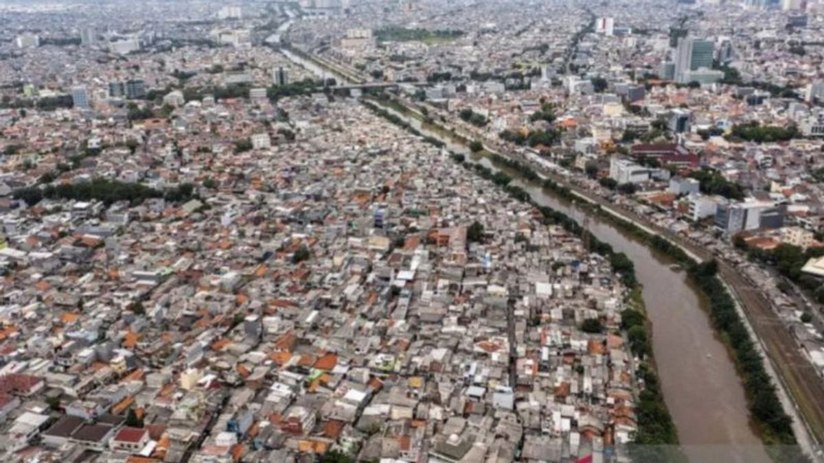
JAKARTA - The Geological Agency stated that groundwater management activities by limiting people from taking groundwater excessively have an impact on increasing groundwater levels in Jakarta.
Acting Head of the Geological Agency Muhammad Wafid said that controlling groundwater use accompanied by increasing PDAM capacity showed positive results by starting the process of landwater level recovery and sloping land subsidence.
"In the last year, it has rebounded, experiencing an increase in groundwater level of up to five meters," he said in the socialization of the standard for the approval of the use of ground water monitored in Jakarta, Antara, Monday, October 13.
Throughout 2015 to 2022, the Geological Agency noted that land subsidence in Jakarta decreased from 0.04 to 6.30 centimeters per year.
Activities to increase the provision of surface water as compensation because it is not allowed to take excessive groundwater have led to the restoration of the groundwater level.
Wafid took reference for groundwater control in Nagoya and Tokyo, Japan. The government of the two regions carried out a moratorium on groundwater extraction as an effort to hamper the acceleration of land subsidence.
"The rules - it reduces the speed of groundwater subsidence in Nagoya and Tokyo," he said.
This year, the Indonesian government issued Decree of the Minister of Energy and Mineral Resources Number 291.K/GL.01/MEM.G/2023 concerning the Standard for Implementing Approval for Groundwater Use. The regulation requires households that use groundwater above 100 cubic meters per month to apply for permits.
This regulation is an effort by the government to carry out groundwater conservation and ensure future needs so that groundwater does not run out and land levels do not experience a decline.
The Geological Agency regulates groundwater management because the condition of groundwater basins in Indonesia is already prone and damaged.
Signs of damage to groundwater basins or CATs have various environmental impacts, such as contamination of aquifer water at the top and bottom to land subsidence.
"If there are signs of land subsidence, it must be monitored because it is already vulnerable," said Wafid.
The Geological Agency has identified several damaged groundwater basins, namely CAT Jakarta, CAT Karawang Bekasi, CAT Semarang, CAT Palangkaraya-Banjarmasin, CAT Bogor, CAT Serang, and CAT Bandung-Soreang.
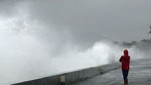
Especially in North Java Monitoring, damaged groundwater basins have an impact on coastal areas. When the tidal flood, seawater that enters the mainland does not immediately return to the sea and inundate the land.
Significant land subsidence occurred in Pekalongan, Demak, and also Semarang. In Pekalongan, the land subsidence occurs by 10 centimeters per year.
Wafid further said that groundwater extraction is not the only cause of land subsidence. Several factors contributing to land subsidence are natural, tectonic, or infrastructure loading around the location.
"At least with the groundwater we manage, we are trying to reduce the acceleration of the land subsidence on the North Coast of Java," he said.
VOIR éGALEMENT:
The English, Chinese, Japanese, Arabic, and French versions are automatically generated by the AI. So there may still be inaccuracies in translating, please always see Indonesian as our main language. (system supported by DigitalSiber.id)
Tags les plus populaires
#Prabowo Subianto #Nouvel An #Syrie #nataru #NatalPopulaire
21 Desember 2024, 06:09
