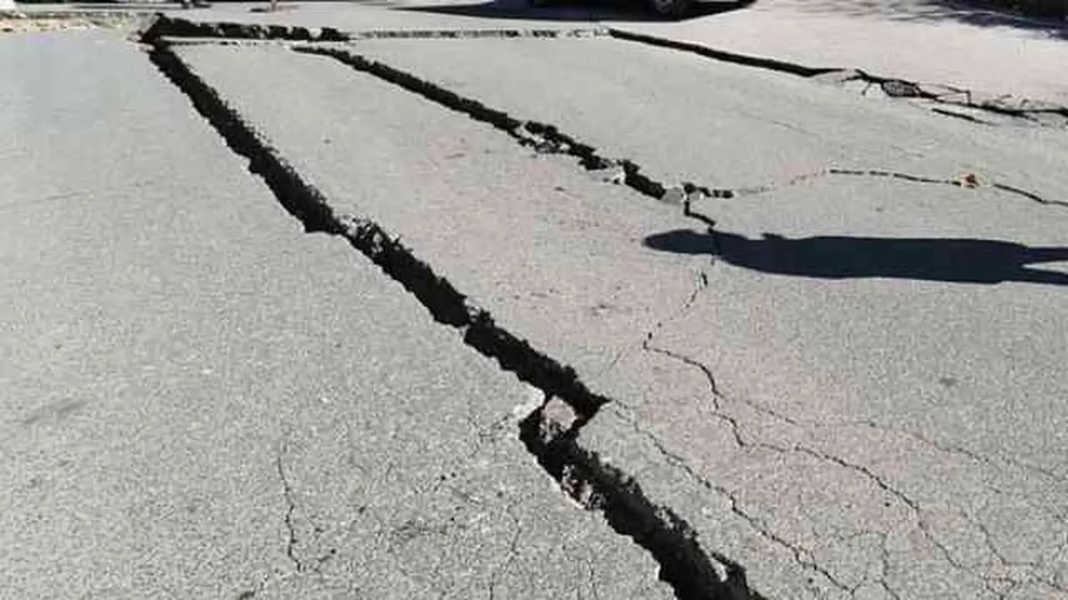


TERNATE - An earthquake with a magnitude (M) 5 rocked the Ternate region, North Maluku, on Friday 4 November morning.
Citing the official website of the Meteorology, Climatology, and Geophysics Agency (BMKG), the earthquake occurred at around 04.29 WIB.
The epicenter of the earthquake was at sea 79 km southwest of Ternate at coordinates 0.58 North Latitude-126.68 East Longitude.
With a depth of 35 kilometers, the BMKG confirmed that the Ternate earthquake did not have the potential for a tsunami.
Earthquake vibrations were felt to the surrounding area, namely Ternate with a scale of II-III measured by the Modified Mercalli Intensity (MMI) scale.
VOIR éGALEMENT:
-
 | BERITA
Segera Jalani Sidang, Mardani H Maming Dipindahkan ke Lapas Banjarmasin Kalsel
04 November 2022, 07:43 -
 | BERITA
Minim Serapan, PDIP DKI Dorong Pj Gubernur Heru Cari Terobosan Genjot Pendapatan Daerah 2022
03 November 2022, 14:42


On the same day, at around 01.46 WIB, an earthquake measuring M 5.5 shook the Saumlaki area, West Southeast Maluku, Maluku Province.
The epicenter of the earthquake was in the sea 158 km northwest of West Southeast Maluku at coordinates 6.67 South Latitude - 130.71 East Longitude.
The earthquake with a depth of 94 kilometers also did not have the potential for a tsunami.
Earthquake vibrations were felt to the surrounding area, namely Saumlaki with a scale of III-IV measured by the Modified Mercalli Intensity (MMI) scale.
Geographically, Indonesia is a country that is part of the Pacific Ring of Fire trajectory, which is a trajectory where there are a series of volcanoes so that earthquakes often occur.
The English, Chinese, Japanese, Arabic, and French versions are automatically generated by the AI. So there may still be inaccuracies in translating, please always see Indonesian as our main language. (system supported by DigitalSiber.id)
Tags les plus populaires
#NCP #Shin Tae-yong #Hasto Kristiyanto #free nutritious food #patrick kluivertPopulaire