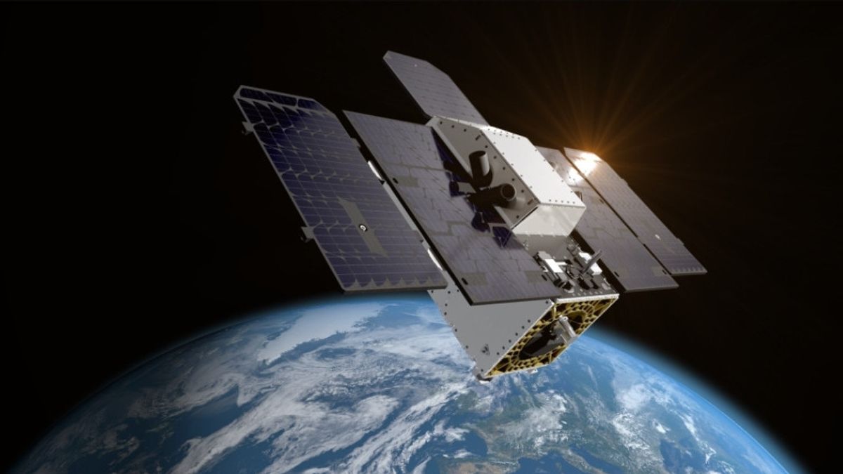


JAKARTA Tanager-1, the first satellite made by Carbon Mapper Coalition, launched on Friday, August 16 using SpaceX's Falcon 9 rocket. The satellite took off from Vandenberg Space Force Base. Nearly three hours after launch, the ground-controlled team managed to connect with the satellite. Tanager-1 is already on the Earth's Low Orbit (LEO) and is being prepared to measure greenhouse gas emission points on Earth. This satellite carries a very important instrument, namely the imaging spectrometer developed by NASA at the Jet Propulsion Laboratory (JPL). This technology will be used to measure the emission of methane and carbon dioxide sources on a global scale. Spectrometer imaging technology on the Tanager-1 vehicle is the result of four decades of development at NASA JPL and is truly superior in its own class,'' said JPL Director Laurie Leshin, quoted from NASA's official website. Leshin said this technology would be at the forefront because the available greenhouse gas emission source data are very accurate globally. This imaging spectrometer is believed to be beneficial for everyone.
SEE ALSO:
-
 | TEKNOLOGI
Mark Cuban Hadiri Acara Crypto4Harris, Galang Dukungan Kripto Buat Kamala Harris
16 Agustus 2024, 23:34


The English, Chinese, Japanese, Arabic, and French versions are automatically generated by the AI. So there may still be inaccuracies in translating, please always see Indonesian as our main language. (system supported by DigitalSiber.id)
Most Popular Tags
#Prabowo Subianto #donald trump #Febrie Adriansyah #8791 #giias 2026Popular


