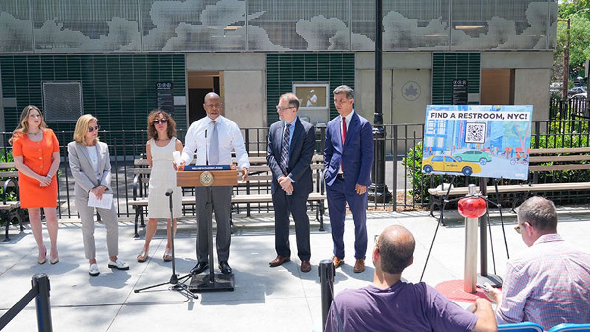
JAKARTA The Government of New York City (NYC) realizes that its citizens have difficulty finding public toilets in the city. This problem needs to be addressed so that the government launched a special map to find toilets. Inaugurated by the Mayor of NYC, Eric Adams, the government launched the Ur In Luck program to expand access to public toilets. They also introduced a new Google Maps layer that NCY can activate when they want to search for toilets. When the toilet search layer is turned on, Maps will show 1,000 public toilet points in five regions. Users only need to click on one of the public toilet points, then click on the Directings button or Guidelines to see the directions. "One of the efforts to make New York City more habitable is to deal with small things," Adams said, quoted from the official NYC website. "Our new Google Maps reaction will make it easier for you to find help when you have to leave." Adams explained that this Google Maps layer will be updated twice a year to make its location more updated. The public toilets to be displayed on Google Maps are toilets operated by the NYC, DOT, and Metropolitan Transit Authority parks.
SEE ALSO:
Various public toilets in private public spaces as well as public libraries in New York, Brooklyn and Queens will also be displayed on Google Maps to facilitate searches. However, the availability of toilets will not be listed on Google Maps. In addition to creating a special layer to search for toilets on NYC, the government also released open data related to public toilets in the city. With this data provided, people can create their own tools in finding toilets on NYC.
The English, Chinese, Japanese, Arabic, and French versions are automatically generated by the AI. So there may still be inaccuracies in translating, please always see Indonesian as our main language. (system supported by DigitalSiber.id)
