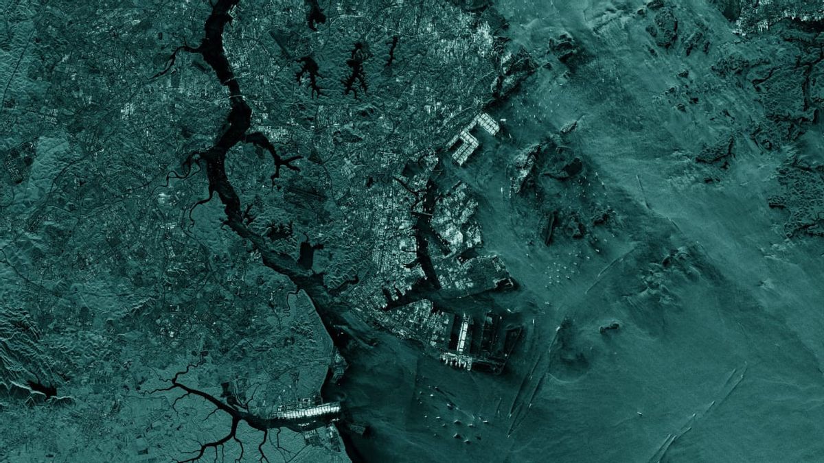
JAKARTA ICEYE, a microsatellite manufacturer from Finland, launched a new product called Ocean Vision. The service, which was introduced on Thursday, March 7, was designed as an ocean watchdog.
Ocean Vision is a series of products from Radar Apertur Synthesis (SAR). The first product that is currently available is Ocean Vision Detect which is capable of photographing more than 80 thousand square kilometers in one image.
This device can detect, identify, characterize, and track ocean activity globally. With broad insights into the presence, location, and size of ships at sea, authorities can mitigate threatening actions.
ICEYE's Head of Data Product, John Cartright, said that SAR satellites can detect ships during the day, at night, or during bad weather conditions. Therefore, Ocean Vision can be a solution to find out the precarious situation at sea.
"Ocean Vision took the SAR power one step further, helping public and private sector customers easily access important information that could inform their decision-making during a very critical situation at sea," Cartwright said on ICEYE's official blog.
Cartright added that this technology has shown such good accuracy in multinational exercises recently. Ocean Vision Detect is capable of identifying ships involved in illicit trade to illegal smuggling.
"Ocean Vision Detect has great potential for environmental NGOs to track illegal fishing, not reported, and not regulated and monitor inaccessible locations and Marine Conservation Areas," Cartwright explained.
Ocean Vision Detect will combine capabilities from the ICEYE satellite constellation and machine learning-based workflows. This merger will provide derivative data from SAR data so that customers can quickly access and analyze information.
The English, Chinese, Japanese, Arabic, and French versions are automatically generated by the AI. So there may still be inaccuracies in translating, please always see Indonesian as our main language. (system supported by DigitalSiber.id)


