JAKARTA – The United States Aeronautics and Antarctic Agency (NASA) together with the National Snow and Ice Data Center (NSIDC) provide bad news regarding sea ice in the polar regions.
Through satellite data, Arctic sea ice has reached a record with the lowest ice extent. On September 19, Arctic sea ice reached a minimum of 4.23 million square kilometers. This limit is the sixth lowest in satellite records.
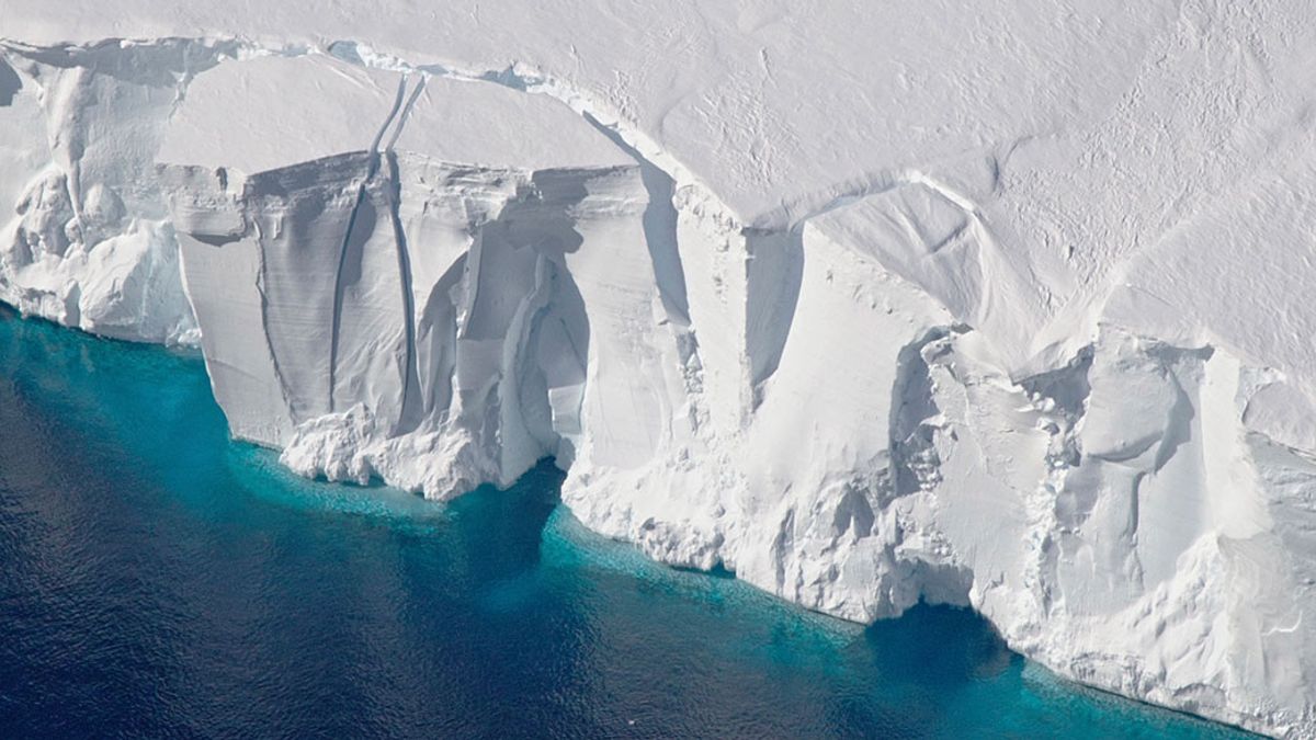
Meanwhile, sea ice in Antarctica reached its lowest limit on September 10 with an area of 16.96 million square kilometers. This record is the lowest in history.
“This is a record low level of sea ice in Antarctica. "Sea ice growth appears to be lower across almost the entire continent than in one region," said NSIDC Scientist Walt Meier, quoted from Space.
SEE ALSO:
Satellite data shows that the Northwest Passage has more open ocean than usual. A number of areas that were previously dense with layers of ice have now become looser.
This problem becomes serious because the volume of ice melting continues to increase over the years. There are several factors that can influence the extent of sea ice to decrease, such as wind patterns, sea temperatures related to global warming, and the occurrence of the El Nino climate pattern.
Apart from the decreasing extent of sea ice, ice thickness is also a concern because it can determine the survival of sea ice. Therefore, NASA's ICESat-2 satellite will continue to monitor ice thickness throughout the year.
The English, Chinese, Japanese, Arabic, and French versions are automatically generated by the AI. So there may still be inaccuracies in translating, please always see Indonesian as our main language. (system supported by DigitalSiber.id)


