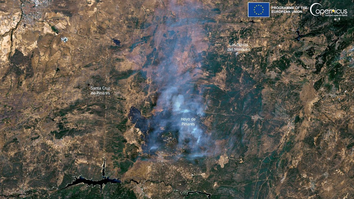
JAKARTA - Sentinel 3 is a satellite that has a primary mission in marine studies, developed by the European Space Agency (ESA). This satellite is part of the Copernicus Program. However, it is also capable of providing data on the atmosphere and land mass.
Sentinel 3A was launched on February 16, 2016, with its twin, Sentinel 3B, arriving in orbit on April 25, Esa's seventh Sentinel Earth observation satellite. Both satellites orbit 506 miles (815 km) above Earth, on opposite sides of the planet.
The multi-billion Copernicus program aims to help predict weather phenomena such as El Nio and track the progress of global warming.
Their data can also help shipping companies map more efficient routes and can be used to monitor forest fires, water pollution and oil spills.
The Copernicus project is described by ESA as the most ambitious Planet Earth observation program to date. The European Union and ESA have committed to funding more than eight billion euros (IDR 146.7 trillion) by 2020.
SEE ALSO:
The launch of the Copernicus project became especially urgent after Europe lost contact with Earth observation satellite Envisat in 2012 after 10 years.
Sentinel-3 utilizes several sensing instruments to achieve its goals. These are: sea and land surface temperature radiometer (SLSTR), sea and land color instrument (OLCI), SAR altimeter (SRAL), satellite-integrated doppler orbitography and radioposition (DORIS), and microwave radiometer (MWR).
According to the Daily Mail report, this satellite is very useful in mapping the hot land temperature on Earth. Especially at this time when the heat wave swept through most of mainland Europe.
The English, Chinese, Japanese, Arabic, and French versions are automatically generated by the AI. So there may still be inaccuracies in translating, please always see Indonesian as our main language. (system supported by DigitalSiber.id)


