

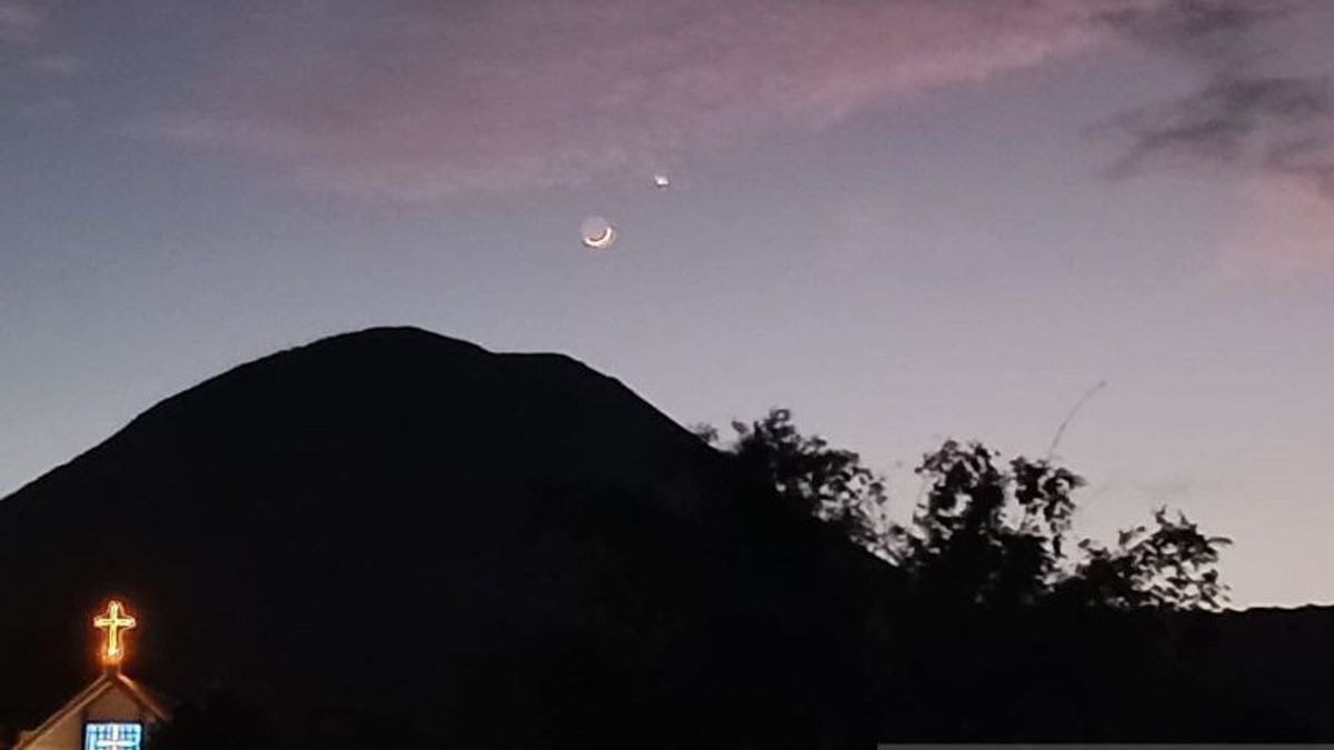


MANADO - The Geological Agency of the Ministry of Energy and Mineral Resources (ESDM) has lowered the status of Mount Lokon in Tomohon City, North Sulawesi, from Level III (Alert) to Level II (Alert).
"Based on the results of observations, analysis, and evaluation of visual and instrumental data, until October 20, 2025, the activity level of Mount Lokon was lowered from Level III (Alert) to Level II (Alert) on October 21, 2025 at 12.00 WITA," said Head of the Geological Agency Muhammad Wafid AN reported by ANTARA, Tuesday, October 21.
In the report, it was stated that the volcanic activity of the crater of Mount Lokon on October 1-20, 2025, was generally thin to moderately high, about 30 meters high.
While the seismicity showed a gradual decline. As of October 20, 2025, shallow volcanic earthquakes were recorded as one incident, one volcanic earthquake was deep, and two gusts per day.
The latest development of Mount Lokon on October 20, 2025 at 00.00 a.m. - 24.00 p.m. local time, he said, visual conditions did not show any changes, white smoke came out of the crater with a thin to moderate intensity, about 25 meters high above the crater.
Gempatan activity, especially shallow volcanic earthquakes, was recorded as many as one incident, gust earthquakes were recorded as many as two incidents, volcanic earthquakes were recorded in one incident, and long tectonic earthquakes were recorded as many as eight events.
Meanwhile, based on instrumental data, it is indicated that there was a decrease in pressure on the shallow (surface) after the recording of a shallow volcanic earthquake that was associated with the release of gust gas.
SEE ALSO:
-
 | BERITA
Hamas Tegaskan Palestina Mampu Amankan Wilayahnya Sendiri Tanpa Pasukan Asing
21 Oktober 2025, 17:12 -
 | BERITA
Di Israel, Wapres AS JD Vance Bakal Bahas Fase Kedua Gencatan Senjata Gaza
21 Oktober 2025, 16:38 -
 | BERITA
Polandia Ingatkan Putin tak Lintasi Wilayah Udaranya ke Hongaria Jika Tak Mau Ditangkap
21 Oktober 2025, 15:56

The potential danger of the activity of Mount Lokon for now, he said, is the sudden occurrence of a phreatic eruption (eruption caused by magma vapor contact with hydrothermal water) with or without any indication of a significant increase.
In the rainy season or if there is heavy rain at the top of Mount Lokon, he continued, please be aware that lahars occur in rivers that originate from the summit.
Recommendations at Level II (Alert) activity levels are for the public and tourists not to approach and carry out activities within a radius of 1.5 kilometers from the Tompaluan crater.
If there is an eruption and ash rain, said Wafid, people are advised to stay indoors and if they are outside the house, they are advised to use a nose, mouth (mask) and glasses.
The English, Chinese, Japanese, Arabic, and French versions are automatically generated by the AI. So there may still be inaccuracies in translating, please always see Indonesian as our main language. (system supported by DigitalSiber.id)
Most Popular Tags
#Prabowo Subianto #donald trump #Febrie Adriansyah #8791 #giias 2026Popular


