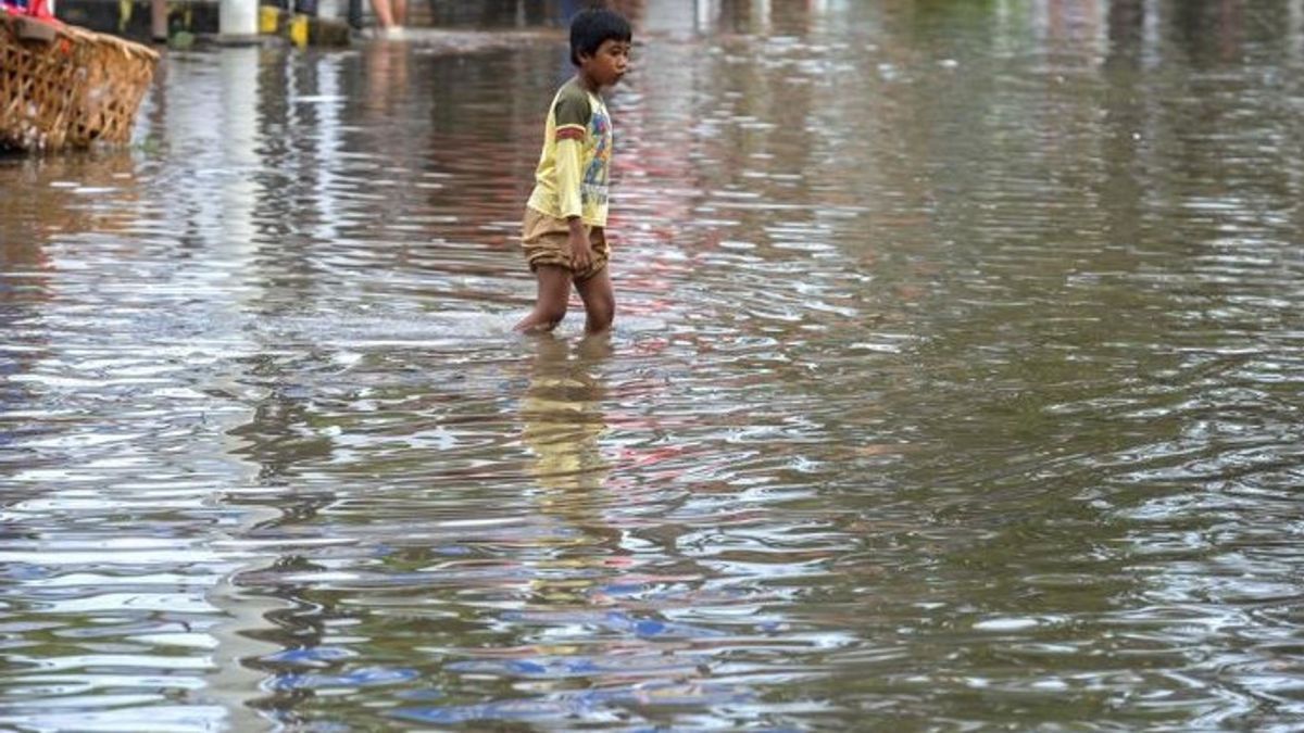


BANTEN - The extreme weather that occurred in Lebak and several other areas still has the potential to cause disasters. Anticipating this, the Lebak Regency Regional Disaster Management Agency (BPBD), Banten mapped out disaster-prone areas during Lebaran 2025.
"The mapping is to anticipate disasters so that people can celebrate Eid safely," said Lebak Regency BPBD Chief Executive Febby Rizky Pratama in Lebak, quoting ANTARA on Sunday, March 30.
The Lebak Regency area enters a prone area for natural disasters if the extreme weather is marked by heavy rain accompanied by strong winds and lightning.
The extreme weather can cause floods, flash floods, landslides and ground movement, due to the nature of the mountains, hills and river flows.
BPBD Lebak conducted a mapping of the area prone to natural disasters in order to provide security and comfort during Eid.
SEE ALSO:


In the mapping, 16 flood-prone sub-districts include Rangkasbitung, Cibadak, Kalanganyar, Cimarga, Warunggunung, Cikulur, Wanasalam, Banjarsari, Maja, Curugbitung, Bayah, Panggarangan, Cihara, Malingping, Sajira, and Cijaku.
Meanwhile, areas prone to landslides in 14 sub-districts, namely Sobang, Lebakgedong, Cigemblong, Bojongmanik, Cibeber, Muncang, Bayah, Gunungkencana, Cipanas, Cileles, Cimarga, Cikulur, Leuwidamar and Cilograng.
In addition, his party also optimizes socialization activities and spreads disaster officers and volunteers as well as conveying early warnings so as not to cause casualties or material damage.
"We ask residents who live in disaster-prone areas to increase their vigilance and be able to celebrate Eid in peace and security," he explained.
The English, Chinese, Japanese, Arabic, and French versions are automatically generated by the AI. So there may still be inaccuracies in translating, please always see Indonesian as our main language. (system supported by DigitalSiber.id)
Most Popular Tags
#Prabowo Subianto #donald trump #Febrie Adriansyah #8791 #giias 2026Popular


