

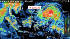
JAKARTA - The Meteorology, Climatology and Geophysics Agency (BMKG) predicts that the intensity of the Surigae Tropical Cyclone in the next 24 hours will weaken and move north away from Indonesian territory.
As reported by Antara, Monday, April 19, Head of the Center for Maritime Meteorology BMKG Eko Prasetyo in his written statement conveyed the results of the analysis of Tropical Cyclone Surigae which was carried out on Sunday, April 18, 2021, at 19.00 western Indonesia time.
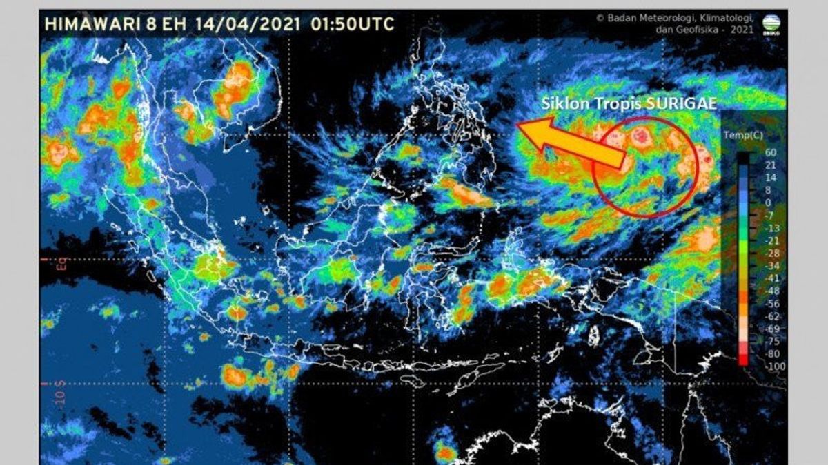
From the results of this analysis, the position of the Tropical Cyclone is in the eastern Pacific Ocean of the Philippines, 13.5 North Latitude, 126.8 East Longitude (about 1,140 km north of Tahuna).
The cyclone moves to the West, namely the northwest at a speed of 5 knots (9 km/h) away from Indonesian territory, while its strength is 115 knots (215 km/h) and a pressure of 900 hPa.
Based on this study, BMKG predicts the position of Tropical Cyclones in the next 24 hours, namely 19 April 2021 at 19.00 western Indonesia time, will be in the Pacific Ocean east of the Philippines, 15.0 North Latitude, 126.5 East Longitude (about 1,300 km north of Tahuna).
SEE ALSO:
-
 | BERITA
9 Provinsi Diminta Waspadai Siklon Surigae yang Bakal Meningkat 24 Jam ke Depan
17 April 2021, 12:28 -
 | BERITA
KPK SP3 Kasus BLBI, Presiden Jokowi Bentuk Satgas Penanganan Hak Tagih BLBI
10 April 2021, 22:10 -
 | BERITA
Polri Tegaskan Terduga Teroris FA Bukan Pengurus Muhammadiyah tapi JI Jogja
10 April 2021, 19:35


Tropical Cyclone will be heading north at a speed of 4 knots (7 km/h) and continues to move away from Indonesian territory, while its strength is reduced to 110 knots (205 km/h) and a pressure of 905 hPa.
However, BMKG reminds that Tropical Cyclones will have an indirect impact on the weather in Indonesian territory in the next 24 hours.
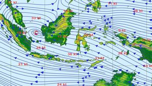
Namely, the potential for rain with moderate to heavy intensity accompanied by lightning or lightning, as well as strong winds in West Kalimantan, Central Kalimantan, North Kalimantan, East Kalimantan, North Sulawesi, Gorontalo, Central Sulawesi, North Maluku, Maluku, and West Papua.
Wave height of 1.25-2.5 meters is likely to occur in waters of North Kalimantan, northern Makassar Strait, West Sulawesi Sea, southern waters of Sangihe Island, Waters of Sitaro Island, waters of Bitung-Likupang, southern waters of North Sulawesi, Maluku Sea, waters of the Halmahera Islands, Halmahera Sea, Biak waters, to Jayapura, Papua's northern Pacific Ocean.
Wave height of 2.5-4 meters is likely to occur in the central and eastern parts of the Sulawesi Sea, northern waters of Sangihe Island, Waters of Talaud Island, North Pacific Ocean, Southern Halmahera, and the northern Pacific Ocean of West Papua.
The English, Chinese, Japanese, Arabic, and French versions are automatically generated by the AI. So there may still be inaccuracies in translating, please always see Indonesian as our main language. (system supported by DigitalSiber.id)
Most Popular Tags
#Prabowo Subianto #donald trump #Febrie Adriansyah #8791 #giias 2026Popular


