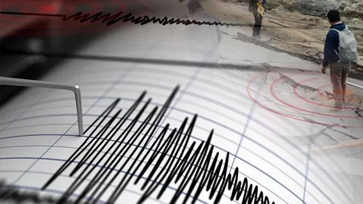


JAKARTA - The Meteorology, Climatology and Geophysics Agency (BMKG) informed that an earthquake with a magnitude of 6.4 rocked Gorontalo, Tuesday, at 02.51 WIB.
Based on the official website of the Meteorology, Climatology and Geophysics Agency (BMKG) which was monitored by ANTARA, Tuesday, September 24, the epicenter was in the sea 74 km southwest of Gorontalo.
The coordinates of the earthquake were 0.11 South Latitude (LS) and 122.92 East Longitude (BT), with a depth of 145 km.
Earthquake tremors were felt in Kotamobagu, Bolaang Mongondow Selatan, and Pohuwato with a scale of III-IV Modified Mercalli Intensity (MMI). Then in Gorontalo Regency, Gorontalo City, and North Gorontalo with a scale of III MMI.
The Mercalli scale is one of the units to measure the strength of the earthquake, especially if there is no seismometer equipment at the scene, as quoted from the BMKG website.
On the MMI III scale, the vibration is felt real in the house. The vibration felt as if a truck had passed.
SEE ALSO:
-
 | LIFESTYLE
Vadel Badjideh Tunjukan Hasil USG Lolly, Nikita Mirzani: Ngaku?
23 September 2024, 16:10 -
 | BERITA
Polisi Selidiki Penyebab Kecelakaan Bus Surya Bali di Pati yang Tewaskan 6 orang
23 September 2024, 15:02 -
 | TEKNOLOGI
Pembagian Airdrop Hamster Kombat Bikin Kecewa Para Pemain, Alokasi Token Tidak Sesuai Harapan
23 September 2024, 17:00
Meanwhile, MMI's IV scale, during the day, was felt by many people in the house, outside by several people, broken pottery, windows or doors hoarse and walls sound.
BMKG said the earthquake had no potential for a tsunami. People in the affected areas are advised to be alert to possible aftershocks.
The English, Chinese, Japanese, Arabic, and French versions are automatically generated by the AI. So there may still be inaccuracies in translating, please always see Indonesian as our main language. (system supported by DigitalSiber.id)
Most Popular Tags
#Prabowo Subianto #donald trump #2026 World Cup #Febrie Adriansyah #8791Popular


