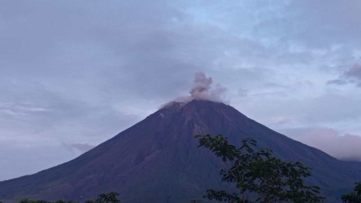


JATIM - Mount Semeru again erupted to vomit volcanic ash as high as 700 meters from the top of the peak on Sunday, August 18 at 11.49 WIB.
"During the eruption, the column of volcanic ash was observed to be white to gray with thick intensity to the southwest," said Mount Semeru Observation Post Officer Mukdas Sofian in a written statement received on Sunday, August 18, quoted by Antara.
According to him, the eruption of the mountain on the border of Lumajang and Malang Regencies, East Java (East Java) was recorded on a seismograph with a maximum amplitude of 23 mm and a duration of 115 seconds.
Previously at 07.54 WIB, the highest mountain on the island of Java was also an eruption with a column height of ash observed at approximately 500 meters above the peak or 4,176 meters above sea level.
"The ash column was observed to be white to gray with thick intensity to the southwest. The eruption was recorded on a seismograph with a maximum amplitude of 22 mm and a duration of 107 seconds," he said.
Mukdas explained that the status of Mount Semeru at Level II or Alert, so that the Center for Volcanology and Geological Hazard Mitigation (PVMBG) provides a number of recommendations, namely that people are prohibited from carrying out any activity in the southeast sector along Besuk Kobokan, as far as eight km from the summit (the center of the eruption).
Then outside of that distance, people are not allowed to carry out activities at a distance of 500 meters from the riverbank (river border) along Besuk Kobokan, because it has the potential to be affected by the expansion of hot clouds and lava flows up to a distance of 13 km from the summit.
The community is also not allowed to move within a three km radius of the crater/peak of Mount Semeru because it is prone to the danger of throwing stones (pijar).
In addition, it is necessary to be aware of the potential for hot clouds, lava avalanches, and lahars along rivers/valleys that originate at the peak of Mount Semeru, especially along Besuk Kobokan, Besuk Bang, Besuk Kembar, and Besuk Sat, as well as the potential for lahars in small rivers that are tributaries of Besuk Kobokan.
SEE ALSO:
-
 | BERITA
Imigrasi Menjadi Isu Utama Dibahas Warga Inggris Sejak Kerusuhan Demo Anti-Migran
16 Agustus 2024, 20:36 -
 | BERITA
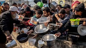
Israel Tetap Bombardir Gaza, Diskusi Gencatan Senjata di Qatar Diperpanjang 1 Hari
16 Agustus 2024, 15:19 -
 | BERITA
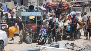
40 Ribu Warga Palestina Tewas, 92.401 Luka-luka Sejak Agresi Israel di Gaza per Hari Ini
15 Agustus 2024, 19:39

The English, Chinese, Japanese, Arabic, and French versions are automatically generated by the AI. So there may still be inaccuracies in translating, please always see Indonesian as our main language. (system supported by DigitalSiber.id)


