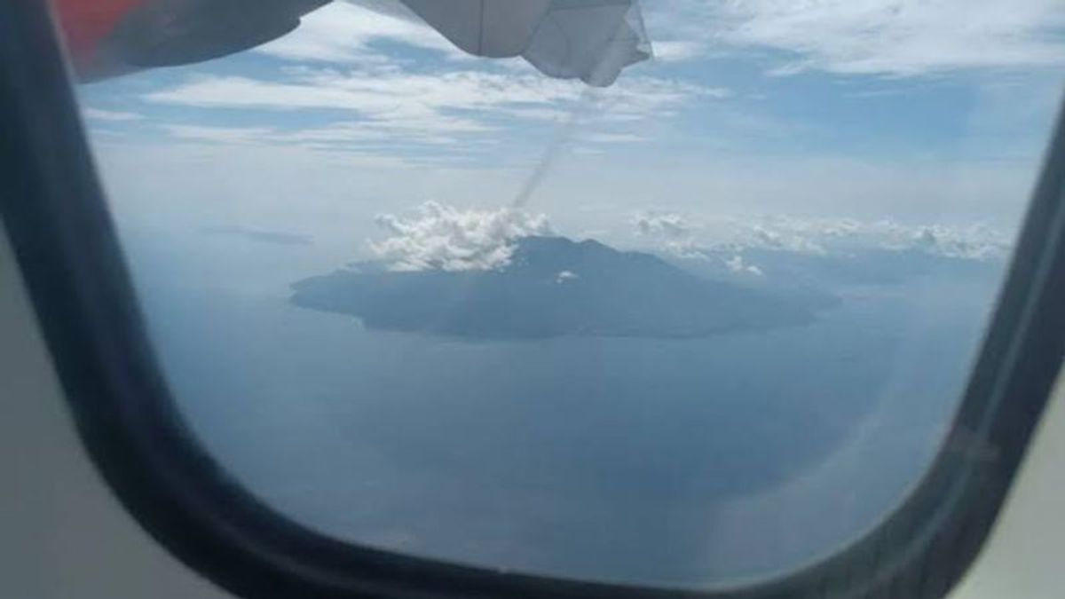


The Geological Agency of the Ministry of Energy and Mineral Resources asked the public not to move near the crater of Mount Awu, Sangihe Islands Regency, North Sulawesi (Sulut).
"In Level II or Alert activity levels, people should not approach and move within a three-kilometer radius of the summit crater of Mount Awu," said Head of the Geological Agency Muhammad Wafid in a press release, Sunday, April 7, quoted by Antara.
This, he continued, relates to the potential danger of high concentration of volcanic gas and rock ejection in the event of a sudden phreatic eruption without being preceded by symptoms of a clear increase in activity.
According to him, the radius and distance of this recommendation will be evaluated continuously to anticipate if there are symptoms of changes in the threat of danger.
"The activity level of Mount Awu will be reviewed if there are significant visual changes and seismicities," he said.
SEE ALSO:


Previously, the Geological Agency released an increase in the volcanic activity of Mount Awu, which was marked by the recording of a series of deep volcanic earthquakes (VA) and shallow volcanic earthquakes (VB), namely on March 22, 2024 at 17.00 WITA (3 VA, 12 VB) and at 19.15 WITA (7 VB).
The series of volcanic earthquakes were recorded again on April 1, 2024 at 17.50 WITA (1 VA, 7 VB) and at 20.45 WITA (2 VA, 7 VB).
Earthquake energy is experiencing a detectable increase in the increasing "Realtime Seismic Amplitude Measurement" (RSAM) chart.
In March 2024, a non-harmonic tremor earthquake was recorded five times (low-frequency trend with a dominant frequency of around 1.5 Hz) with an earthquake of 40-95 seconds showing an increase in surface earthquakes.
The English, Chinese, Japanese, Arabic, and French versions are automatically generated by the AI. So there may still be inaccuracies in translating, please always see Indonesian as our main language. (system supported by DigitalSiber.id)


