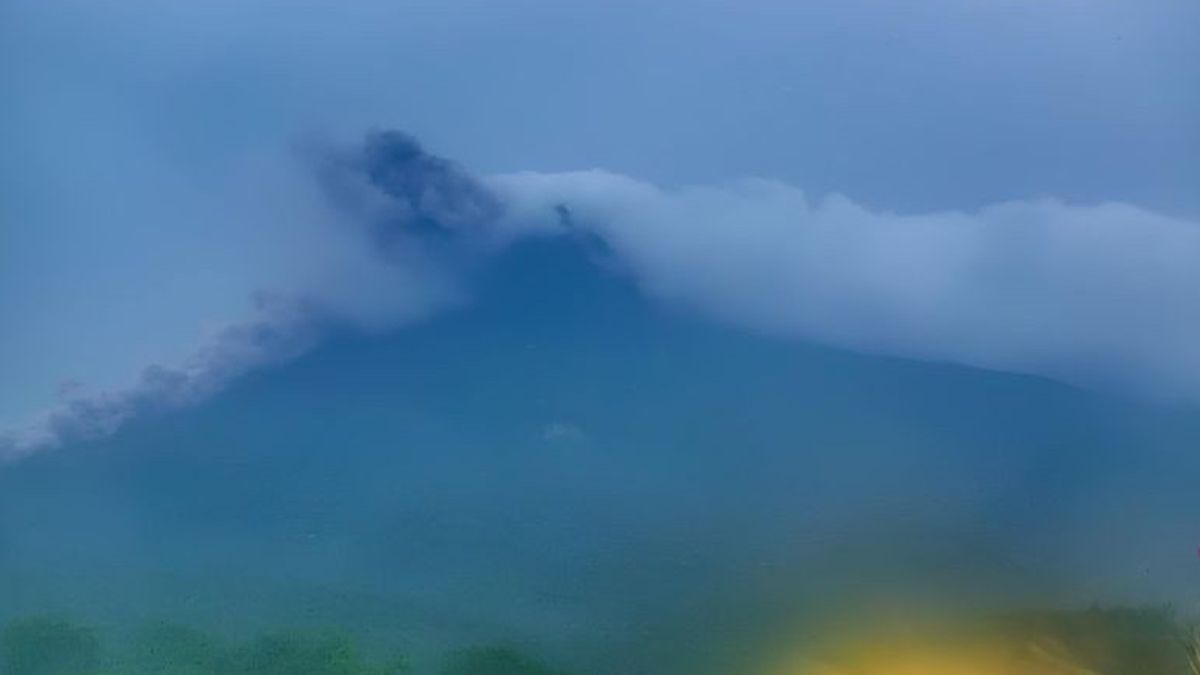


The Center for Volcanology and Geological Hazard Mitigation (PVMBG) reported that Mount Merapi emitted hot clouds of avalanche as far as 1,800 meters leading southwest of Bebeng River.
Head of PVMBG Hendra Gunawan said the hot cloud avalanche occurred at 18.18 WIB with a maximum amplitude of 19 millimeters with a duration of 155.56 seconds.
"The public is advised to stay away from the recommended hazard areas," said Hendra as quoted by ANTARA, Thursday, January 4.
Since November 5, 2020 until now, Mount Merapi, which is located on the border of Central Java and Yogyakarta, has occupied a level III disaster status or standby because volcanic activity is still quite high in the form of an effusive eruption.
SEE ALSO:
-
 | BERITA
Prabowo Bantah Program Makan Siang-Susu Gratis Bisnis Menggiurkan: Ini Soal Keharusan
04 Januari 2024, 19:07 -
 | BERITA
Ganjar Minta KPU Profesional: Kalau Minta Maaf Terus Kredibilitasnya Bakal Dipertanyakan
04 Januari 2024, 15:46


PVMBG stated that the current potential danger is in the form of lava avalanches and hot clouds in the south-southwest sector covering the Boyong River for a maximum of 5 kilometers, Bedog River, Krasak, Bebeng for a maximum of 7 kilometers.
In the southeast sector, including the Woro River is a maximum of 3 kilometers and the Gendol River is 5 kilometers. Meanwhile, the ejection of volcanic material in the event of an explosive eruption can reach a radius of 3 kilometers from the summit.
PVMBG urges the public not to carry out any activities in areas of potential danger of Mount Merapi.
The English, Chinese, Japanese, Arabic, and French versions are automatically generated by the AI. So there may still be inaccuracies in translating, please always see Indonesian as our main language. (system supported by DigitalSiber.id)
Most Popular Tags
#Prabowo Subianto #donald trump #2026 World Cup #Febrie Adriansyah #8791Popular


