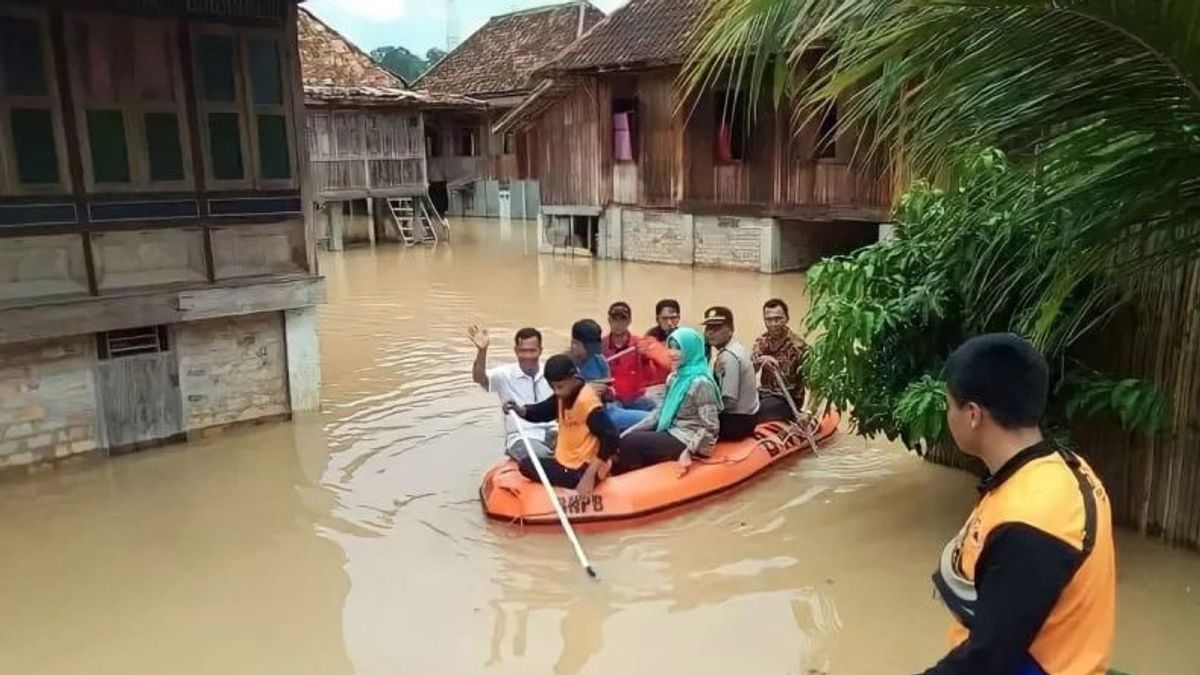


SOUTH SUMATRA - The Regional Disaster Management Agency (BPBD) has begun mapping flood-prone areas in Ogan Komering Ulu (OKU) Timur Regency, South Sumatra (Sumsel).
Head of the East OKU BPBD Emergency and Logistics Division, Budi, said the flood-prone area was located in Baturaja Bungin Village and Sabah Lioh Village in Bunga Mayang District.
"This mapping was carried out as one of the steps to anticipate disasters so as not to cause casualties," said Martapura, Friday, December 1, as reported by Antara.
Then, floods during the rainy season often hit Pasar Martapura Village and Tanjung Kemala Barat Village in Martapura District, as well as Confinement Village, Buay Madang, Muncak Kabau Village in BP Bangsa Raja District.
In addition, Mendayun Village in Madang Tribe I District and Gunung Jati Village in Cempaka District are also mapped as flood-prone areas if hit by heavy rains.
"For Cempaka District, almost all areas are often flooded because this area is located in a lowland and close to the Komering Watershed (DAS)," he said.
SEE ALSO:
-
 | BERITA
Bawaslu Ingatkan Nominal Bahan Kampanye Pemilu 2024 Maksimal Rp100 Ribu per Item
30 November 2023, 14:17


As an effort to anticipate, he said, the East OKU BPBD has established a disaster management post so that floods can be handled as early as possible, including preparations for all disaster management equipment such as rubber boats and emergency tents to evacuate victims of natural disasters.
"We also urge the public not to litter, especially in the river, and to maintain the environment to minimize potential flooding," he said.
The English, Chinese, Japanese, Arabic, and French versions are automatically generated by the AI. So there may still be inaccuracies in translating, please always see Indonesian as our main language. (system supported by DigitalSiber.id)
Most Popular Tags
#Prabowo Subianto #donald trump #2026 World Cup #venezuela #konflik timur tengahPopular


