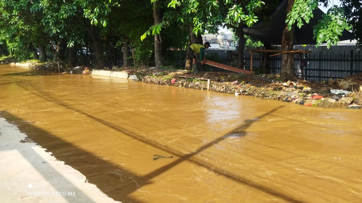


JAKARTA - Based on data compiled by the DKI Jakarta Regional Disaster Management Agency (BPBD), the main cause of the flood inundation that hit 24 RTs in the East Jakarta area was the overflow of the Ciliwung River.
"All locations (floods) are on the edge of the Ciliwung River," said Head of the East Jakarta Water Resources (SDA) Sub-dept., Wawan Kurniawan when confirmed by VOI, Friday, November 1.
The 24 RTs that were flooded were 2 RTs in Bidara Cina Village with an altitude of 80 cm, Kampung Melayu Village with 10 RTs with an altitude of 150 cm, Cawang Village with 7 RTs with an altitude of 170 cm and Cililitan Village with 5 RTs with a height of 120 cm.
"(The cause) was due to shipments from upstream (Katulampa) to the Ciliwung River," he said.
In addition, Wawan said, areas that are prone to flooding in East Jakarta are mostly basins (land) areas. So that the water that passes will inundate the area.
SEE ALSO:
-
 | BERITA
Bocah 8 Tahun yang Hilang di Jatinegara Ditemukan Tewas Mengambang di Pintu Air Manggarai
29 November 2023, 14:53 -
 | BERITA
Sakit Hati Seorang Ibu di Tangerang, Mendengar Anaknya Hamil 4 Bulan dari Guru BK
29 November 2023, 09:32


"On average, basins such as in the Low Land area, Bidara Cina, Baiduri, Jalan Macan, Gang Melati. The plaster has not been strengthened," he said.
The flood appeal was informed first through information on the increase in the status of the Depok Alert 3 Post (Alert) on Thursday, November 30, evening. Manggarai Siaga 3 Sluice Gate (Alert) on Friday, December 1 in the morning at around 02.00 WIB.
Then there was an overflow of the Ciliwung River which caused flooding at several points in the East Jakarta area.
The English, Chinese, Japanese, Arabic, and French versions are automatically generated by the AI. So there may still be inaccuracies in translating, please always see Indonesian as our main language. (system supported by DigitalSiber.id)