JAKARTA - The East Nusa Tenggara (NTT) Regional Disaster Management Agency (BPBD) said there were three things that caused the island-based province to be prone to natural disasters.
"First, the location of NTT is in an area that is easily affected by hydrometeorological disasters," said Head of BPBD NTT Ambroisius Kodo when opening public socialization of disaster risk study documents and kick off the preparation of the NTT Province disaster management plan in Kupang, Monday, November 20, confiscated by Antara.
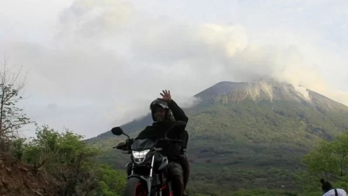
Second, he continued, NTT is also prone to potential geological natural disasters, because this province is in the ring of fire.
"According to our study, NTT is surrounded by 25 volcanoes located in Alor to the western part of Flores," he said.
He said that a number of these mountains could erupt or erupted at any time that could disrupt people's lives.
SEE ALSO:
The third cause, NTT is at the meeting of the Indo-Australian and eurasian plates. "In addition, NTT is flanked by two zones that cause the earthquake that can trigger a tsunami, namely the south megathust of Sumba and the rising fault of Flores," he said.
For the south Sumba megathrust, the potential earthquake could reach 8.5 magnitudes, while the rising fault of Flores has the potential for an earthquake to reach 7.5 magnitudes.
A number of earthquake forces, he said, could trigger a dangerous tsunami in NTT.
Therefore, he added, mitigation and preparedness steps must be a concern for all people in NTT.
The English, Chinese, Japanese, Arabic, and French versions are automatically generated by the AI. So there may still be inaccuracies in translating, please always see Indonesian as our main language. (system supported by DigitalSiber.id)
