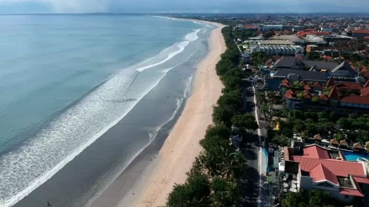


JAKARTA - The Meteorology, Climatology and Geophysics Agency (BMKG) reported that high waves with various intensity up to 6 meters are likely to occur in a number of Indonesian waters on 7-8 February 2023.
Head of the BMKG Maritime Meteorology Center, Eko Prasetyo, said that wind speeds ranging from 5-30 knots were one of the causes of the potential for high waves.
Eko explained that the wind pattern in the northern part of Indonesia is dominantly moving from northeast-east with wind speeds ranging from 5-20 knots, while in the southern part of Indonesia, the dominant movement is from the west-northwest with wind speeds ranging from 5-30 knots.
"The highest wind speed, he continued, was observed in the southern waters of East Java, the southern waters of Bali-Lombok-P. Sumbawa and P. Sumba," he said in Jakarta, Monday, February 6, as reported by Antara.
This condition causes an opportunity to increase waves as high as 1.25-2.5 meters in the waters north of Sabang, the western waters of Aceh-P. Simeulue-Nias Islands, eastern waters of the Mentawai Islands, West Indian Ocean Aceh-Nias Islands, North Natuna Sea, Anambas Islands- Natuna Islands waters, Natuna Sea, eastern waters of the Bintan Islands, eastern Java Sea, southern Makassar Strait, Sabalana Islands waters. Selayar Islands.
Similar conditions also have the potential to occur in the Bali-Laut Sea of Sumbawa, the eastern Sumba Strait, the southern part of the Sape Strait, the northern waters of Flores, the Flores Sea, the southern part of the Sawu Sea, the waters of P. Sawu-Kupang-P. Rotte, the eastern Sulawesi Sea, the waters of the Sangihe Islands. Talaud,
Furthermore, in the waters of the Sitaro Islands, the waters of Bitung, Maluku Sea, the waters north of the Sula Islands, the eastern Banda Sea, the waters of the Babar-Tanimbar Islands, the waters of the Kai Islands of Aru, the waters of Kaimana-Amapare, the western Arafuru Sea, the waters of Halmahera, the Halmahera Sea, the waters north of West Papua-Papua, the North Pacific Ocean of Halmahera-Papua.
For waves in the higher range of 2.5-4 meters, Eko said there is a chance to occur in the western waters of the Mentawai Islands, waters of Bengkulu-barat Lampung, West Indian Ocean Mentawai Islands-Bengkulu, western and southern Sunda Strait, West Indian Ocean Lampung, southern waters of Banten-East Java, South Indian Ocean Java, southern waters of Bali-Sumbawa, southern Bali-Lombok-Alas Strait, western Sumba Strait, southern waters of P. Sumba, North Pacific Ocean, West Papua-Papua.
Meanwhile, waves in the higher range are 4-6 meters, potentially occurring in the South Indian Ocean Bali-Lombok-Sumbawa, the eastern Arafuru Sea.
"We ask the public (and tourists) who live and work on the coast around areas that have the opportunity for high waves to remain vigilant," said Eko.
For this reason, it is necessary to pay attention to the high risk to shipping safety such as fishing boats (wind speeds of more than 15 knots and wave heights above 1.25 m), barges (wind speeds of more than 16 knots and wave heights above 1.5 m).
In addition, ferries (wind speeds of more than 21 knots and wave heights above 2.5 m), large ships such as cargo ships or cruise ships (wind speeds of more than 27 knots and wave heights above 4 meters).
The English, Chinese, Japanese, Arabic, and French versions are automatically generated by the AI. So there may still be inaccuracies in translating, please always see Indonesian as our main language. (system supported by DigitalSiber.id)
Most Popular Tags
#Prabowo Subianto #donald trump #2026 World Cup #venezuela #konflik timur tengahPopular


