

JAKARTA - The Geological Agency has added a seismic station on Mount Kerinci at an altitude of 2,700 meters above sea level in Kerinci Regency, Jambi, in addition to installing a new Global Positioning System device on the volcano with an altitude of 3,805 masl.
Officer of the Kerinci Volcano Observation Post, S. Mamory, when contacted by Antara from Jambi on Sunday, said that the installation of seismic devices at the new point had been carried out by five people from the Geological Agency's Geology Center for Volcanology and Disaster Mitigation Team since earlier this week.
"Apart from installing a new GPS (Global Positioning System) at an altitude of 2,500 masl, there is also a tiltmeter installation and adding a new seismic station at an altitude of 2,700 masl," he said, Sunday, November 15.
The first device to be installed was a GPS whose function was to observe or monitor volcanic deformation.
A total of five officers are involved in installing devices that can improve the reliability and accuracy of monitoring the volcano. GPS is a system of navigation satellites that helps determine position based on GPS satellite observations.
In addition to GPS, at an altitude of 2,500 masl the mountain is also equipped with a tiltmeter to join the old seismic station (KRC1).
"So there is the addition of a new seismic station in Kerinci. Observations are carried out continuously," said Mamory.
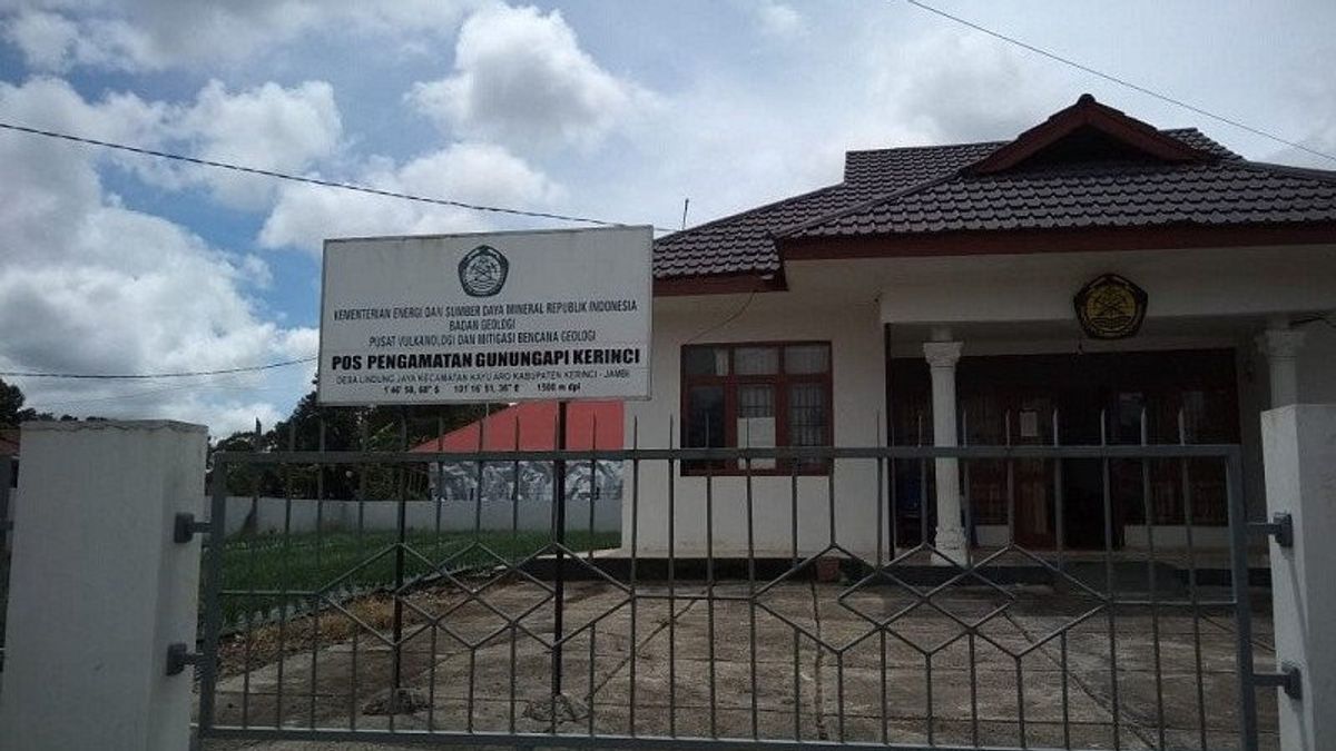
The volcanic activity of Mount Kerinci has been at level II or alert since 2007. The monitoring of the volcano was carried out in the Kayu Aro area of Kerinci Regency.
The area is a stretch of tourist, plantation and agricultural areas that are relied on in Jambi and West Sumatra. The Mount Kerinci area covers the borders of Jambi Province and West Sumatra Province.
The English, Chinese, Japanese, Arabic, and French versions are automatically generated by the AI. So there may still be inaccuracies in translating, please always see Indonesian as our main language. (system supported by DigitalSiber.id)
Most Popular Tags
#Prabowo Subianto #donald trump #2026 World Cup #venezuela #konflik timur tengahPopular


