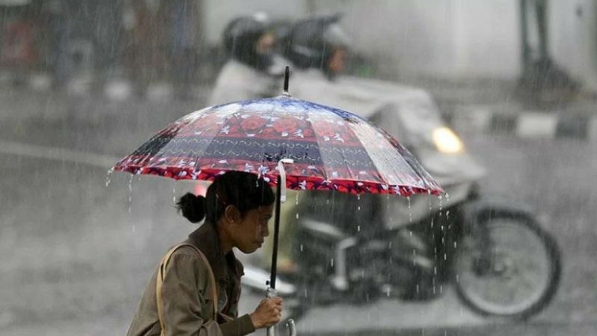


JAKARTA - Indonesia has entered the dry season but rains with light to heavy intensity are still frequent. What caused it?
The Meteorology, Climatology and Geophysics Agency (BMKG) explained that rain was still falling in the dry season this year because several significant global-regional-scale atmospheric dynamics were still active.
The Deputy for Meteorology at BMKG, Guswanto, explained that the phenomenon of atmospheric dynamics on a global-regional scale was quite significant, including the La Nina phenomenon which in July was identified as still quite active with a weak category.
"This condition still affects the general supply of water vapor in the Indonesian atmosphere," said Guswanto in Jakarta, Saturday, July 16.
Besides La Nina, Guswanto continued, the current Dipole Mode phenomenon in the Indian Ocean region also shows an index that is quite influential in triggering an increase in rainfall, especially in the western part of Indonesia.
Meanwhile on a regional scale, there are several atmospheric wave phenomena that actively increase convective activity and the formation of rain clouds, namely; MJO (Madden Jullian Oscillation), Kelvin wave, and Rossby wave that occur in the same period.
"The pattern of wind bends and meeting areas as well as slowing wind speed (convergence) around southern Sumatra and western Java are also able to increase the potential for rain cloud formation in the region supported by positive sea surface temperature anomalies which can increase the potential for water vapor in the atmosphere. , he said.
The BMKG predicts that light to heavy rainfall will still have the potential to flush most of Indonesia over the next week (16-23 July 2022) even though it has entered the dry season.
Although currently most of Indonesia's territory has entered the dry season, due to these atmospheric phenomena it triggers the occurrence of weather dynamics which has an impact on raining in most parts of Indonesia.
BMKG predicts the potential for rain with moderate to heavy intensity to occur in several areas of West Java, Central Java, Central Kalimantan, North Sulawesi, Central Sulawesi, North Maluku, Maluku, West Papua, and Papua. Rain poured down a number of parts of Indonesia in the period 16-23 July 2022,
Light to moderate intensity rains can still occur in several areas such as Aceh, Jambi, South Sumatra, Bangka Belitung Islands, Lampung, Banten, DKI Jakarta, DI Yogyakarta, East Java, West Kalimantan, North Kalimantan, East Kalimantan, South Kalimantan, Gorontalo, West Sulawesi, Southeast Sulawesi, South Sulawesi.
"Meanwhile, for the Greater Jakarta area, we still need to watch out for the potential for moderate-heavy rain which can be accompanied by lightning/lightning and strong winds in the afternoon, especially in the west, east and south areas," said Guswsnto.
He also appealed to the public to be aware of the possibility of potential rain that could cause hydrometeorological disasters such as floods, landslides, flash floods. Regarding the dry season, Guswanto also warned the public to be aware of the effects of drought.
"Save and use water wisely. So that we can deal with the effects of drought due to drought together," he concluded.
The English, Chinese, Japanese, Arabic, and French versions are automatically generated by the AI. So there may still be inaccuracies in translating, please always see Indonesian as our main language. (system supported by DigitalSiber.id)