

JAKARTA - The Meteorology, Climatology and Geophysics Agency (BMKG) said Indonesia needs nine remote sensing satellites to monitor disaster conditions in Indonesia.
"We need nine satellites to orbit without pause because Indonesia's territory is very large", said BMKG Deputy for Instrumentation, Calibration, Engineering, and Communication Network Muhamad Sadly in a public lecture on the occasion of the 72nd World Meteorological Day which was attended online in Jakarta, Tuesday.
Sadly, the Indonesian region has a very complex disaster threat that cannot be handled normatively, coupled with the current increasingly extreme weather conditions, technology is needed.
According to him, if there is only one satellite, there will be a 100-minute delay during orbit, so it cannot be used for disaster monitoring.
Without a satellite, Sadly added, it will be difficult to monitor because it will take a long time because of the vast territory of Indonesia from Sabang to Merauke.
SEE ALSO:
-
 | BERITA
Diduga Hanyut Seorang Warga Hilang Saat berenang di Sungai Lasolo Konawe Utara
22 Maret 2022, 10:18 -
 | BERITA
Seorang Nelayan Hilang Lima Hari di Buton TIM SAR Perluas Area Pencarian
16 Maret 2022, 17:08 -
 | BERITA
Awan Gelap di Sumba Timur, Korban Perahu Terbalik Ditemukan Tak Bernyawa
22 Maret 2022, 11:03
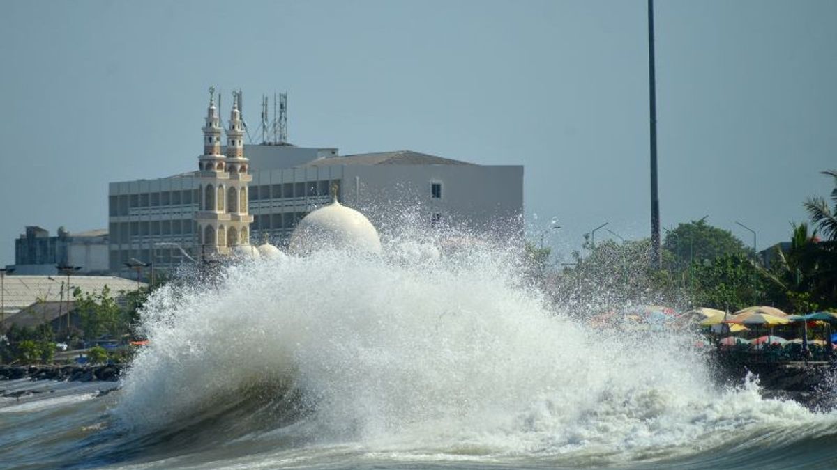
"When a disaster occurs, be it an earthquake, tsunami, or other hydrometeorological disasters, the communication system will collapse. We can't use cellphone-based communication, especially when there was a big earthquake like in Palu in 2018. Then how can people save themselves if there is no reliable communication system", he added.
Prof. Josaphat Tetuko Sri Sumantyo, an expert on microwave satellites from Chiba University, Japan, said in the public lecture that Indonesia must have sensors because of the location of the region at the equator and the rapid growth of clouds that can cause a hydrometeorological disaster to occur suddenly.
"I recommend the full polarimetric spaceborne Synthetic Aperture Radar (SAR) to be more detailed because in Indonesia cloud growth is very fast", said the man who is familiarly called Prof. Josh, adding that a time resolution of fewer than 10 minutes was needed.
Full Polarimetric spaceborne is a radar image analysis method by exploits image polarization with synthetic aperture radar (SAR) to create two-dimensional images or reconstructions of three-dimensional objects, such as landscapes.
He also suggested that Indonesia make its own satellite as needed, even if the technology is made beyond other countries. With satellites, the data obtained is more accurate and faster so that hydrometeorological disasters such as rain, strong winds, landslides, and others can be predicted.
In fact, according to him, the budget needed to make a satellite is not too big, around Rp. 150 billion for one satellite he has ever made.
"We combine meteorological geostationary satellites for meteorology that are unique to Indonesia, namely the number of waves and their application. In addition, the construction of meteorological satellites uses Indonesian domestic human resources and materials", said Prof. Josh.
The English, Chinese, Japanese, Arabic, and French versions are automatically generated by the AI. So there may still be inaccuracies in translating, please always see Indonesian as our main language. (system supported by DigitalSiber.id)
Most Popular Tags
#Prabowo Subianto #donald trump #2026 World Cup #Febrie Adriansyah #8791Popular


