

JAKARTA - The prolonged COVID-19 pandemic followed by a lockdown has left people in the world experiencing boredom, including Hungarians. To get rid of the fatigue of the lockdown, Hungarians head to the National Blue Trail.
Winding 700 miles from Hungary's western border with Austria to the northeast, the Blue Trail, inaugurated in 1938, is Europe's first long-distance hiking trail.
In fact, National Geographic has included this area among the best travel destinations in the world in 2020.
"People have realized that spending time in the forest can have a tremendous healing effect, reduce stress, there is fresh air and calm, so you feel a different time", said Csaba Nemeth, a guide on the National Blue Trail as reported by Reuters.

Winter weather has not dampened the trail's appeal. Many families come on a foggy weekend through the village of Pilisszentlaszlo, north of Budapest.
As was done by the Miklosi family with his wife and six children who walked 10 km in this area. Having long planned to complete its exploration of the region in five years, Microcosis had to be contained due to the pandemic.
"You can forget about your daily problems a little and get away from the negative experiences and impressions you get every day", the head of this family, Tibor Miklosi
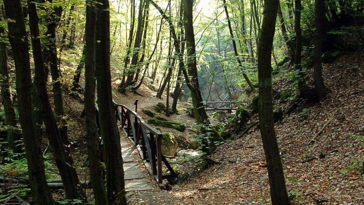
The National Blue Trail (in Hungarian: Országos Kéktúra) is a national trail in Hungary that is incorporated into the European Long Distance Walking Route E4.

The route starts at the top of Mount Irottkő (884 m) on the Austro-Hungarian border then crosses Hungary which eventually ends 1,168 km later in the village of Hollóháza on the Hungarian-Slovak border.
The name Kéktúra (Blue Line) refers to the marking of the path itself: it is a horizontal blue line between two white lines. All segments of the trail are freely accessible to the public; there are no fees to pay or permits obtained, there is only one ferry to take over the Danube between Visegràd and Nagymaros where you have to buy a ticket.

During its journey, the Blue Trail visits the most beautiful natural and man-made landscapes in Hungary. Such as more than a dozen forts and castles, lookout towers, three Hungarian World Heritage Sites (panoramic views of Budapest from the hills, the old village of Hollókő and the Stalactite Cave of Aggtelek), Lake Balaton, the Danube Dam, the former volcano of the Tapolca Basin and others.
According to the most recent GPS survey conducted in 2020, the total length was measured to be 1,168.2 km and the total change in altitude (ascent) was found to be 30,213 meters with a West-East direction across the route.
The English, Chinese, Japanese, Arabic, and French versions are automatically generated by the AI. So there may still be inaccuracies in translating, please always see Indonesian as our main language. (system supported by DigitalSiber.id)


