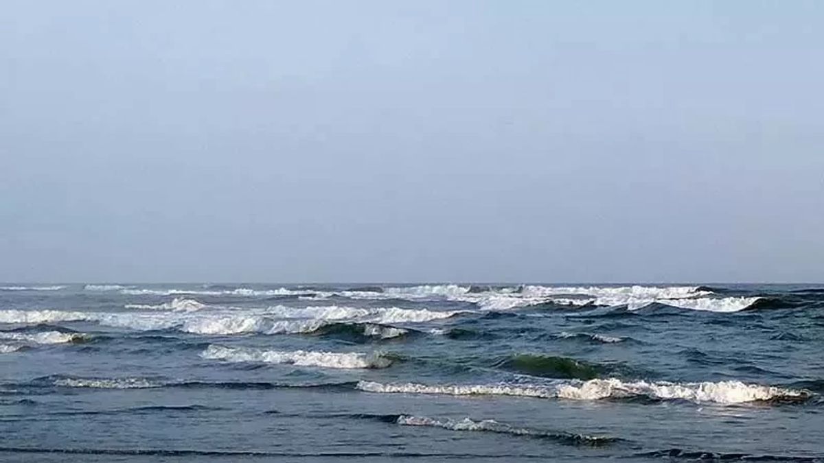
JAKARTA - The existence of a landmark chart in Dadap waters in Jakarta Bay is very disturbing to the ecosystem. It is suspected that the construction of a chart on the north side of Dadap waters in Jakarta Bay is controlled, and facilitated by a number of individuals.
Meanwhile, the creation of charts that actually have a negative impact on the sustainability of marine ecosystems, especially in Dadap waters. In addition to often using small hole nets, the position of the chart that is located near the coast and corals also damages marine ecosystems.
This is because many small fish have been caught and have an effect on the results of traditional fishing.
Responding to this, the Spokesperson for the Minister of Maritime Affairs and Fisheries, Wahyu Muryadi, emphasized that his party would control all forms of activity that interfere with damage to the sustainability of the marine ecosystem, especially in Dadap waters.
"KKP will immediately carry out control. We will collaborate with related agencies," Wahyu said in his statement, Wednesday (27/3/2024).
Please note, the target of controlling the tancap chart is a chart that operates or is established in a zone under 4 nautical miles because the marine water area below 4 miles is a traditional catch zone. In addition to protecting small fishermen around the location. There are several reasons for controlling the landscape chart in the area:
1. Bagan tancap at the location stands without permission and is not the recommended area to establish a chart.
2. That every use of the sea should take care of the permit first regarding the use of marine space, so that the Ministry of Maritime Affairs and Fisheries should take firm action against these illegal charts.
SEE ALSO:
3. That the cultivation of green shells will result in pollution in marine sustainability due to findings of heavy metal content in the form of mercury and hazardous chemical compounds found in the catch of green shells in Jakarta Bay.
4. Bagan tancap is a permanent fishing gear so that it interferes with the shipping lane.
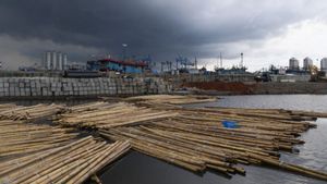
5. The remains of bamboo from the collapsed chart can damage the nets, pile up garbage etc.
In addition to the Ministry of Maritime Affairs and Fisheries (KKP), and other agencies such as the DKI Jakarta Provincial Government, the Banten Regional Government, agencies related to the environment, fisheries and fishermen, sea transportation, port managers, and those related to the workforce must work together to resolve this problem.
The English, Chinese, Japanese, Arabic, and French versions are automatically generated by the AI. So there may still be inaccuracies in translating, please always see Indonesian as our main language. (system supported by DigitalSiber.id)
