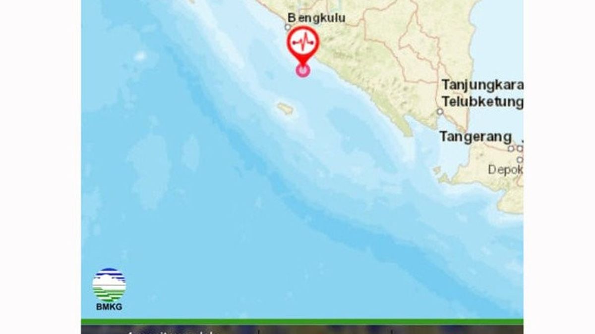


BENGKULU - An earthquake with a magnitude of 5.2 shook 36 kilometers southwest of Seluma, Seluma Regency, Bengkulu with a depth of 26 kilometers.
The Meteorology, Climatology, and Geophysics Agency (BMKG) confirmed that the earthquake centered at sea had no potential for a tsunami, but still asked the people of Bengkulu to be aware of aftershocks.
"The shock of this earthquake was felt by people in Bengkulu varied. We urge the public to be careful of aftershocks that may occur," said Head of Class III Kepahiang Geophysics Station of Bengkulu BMKG, Litman, as quoted by Antara.
Litman explained that the epicenter of the earthquake occurred at coordinates 4.33 South Latitude, 102.37 East Longitude, or 36 kilometers Southwest of Seluma.
The earthquake shock was felt quite strongly with an MMI III-IV scale in Seluma Regency and was felt in several other areas in Bengkulu Province such as in Curup, Kepahiang, Central Bengkulu, Bengkulu City, Kaur to Liwa with an MMI II-III scale.
According to him, the earthquake that occurred was a type of shallow earthquake due to the subduction activity of the Indo-Australian Plate.
SEE ALSO:


The results of the analysis of the source mechanism indicate that the earthquake has a thrust fault mechanism and the results of BMKG monitoring have not shown any aftershocks activity.
"The public is advised to remain calm and not be influenced by issues that cannot be justified," said Litman.
Until now, there have been no reports of damage to either community houses or public facilities that were affected by the earthquake.
The English, Chinese, Japanese, Arabic, and French versions are automatically generated by the AI. So there may still be inaccuracies in translating, please always see Indonesian as our main language. (system supported by DigitalSiber.id)
Most Popular Tags
#Prabowo Subianto #Constitutional Court #israel #iran #Indonesian National teamPopular