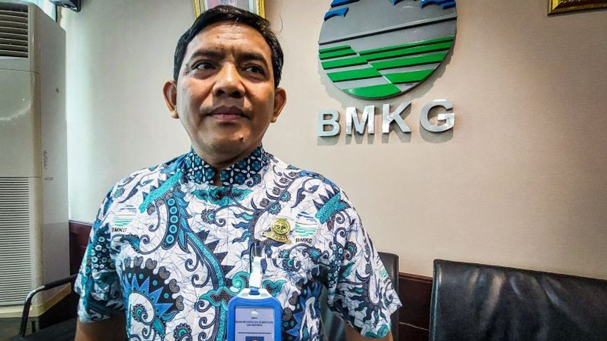
JAKARTA - Head of the Earthquake and Tsunami Center of the Meteorology, Climatology and Geophysics Agency (BMKG) Daryono said the potential for a megathrust earthquake that triggered the tsunami would continue to exist in the southern part of Java Island.
"Megathrust will continue to exist, this potential will not end. The potential for a complete tsunami we have a lot of gauge schemes (water level gauges, ed.) in collaboration with the Geospatial/BIG Information Agency," said Daryono after a dialogue event at BMKG, Jakarta, Antara, Friday, November 3.
He said the gauge idea that was widely paired in the south of Java island was to detect the tsunami early in the event.
"So our gauge idea is in the south of Java. But what is certain is that it has been surrounded by this gauge idea to confirm that all of its potential exists," he said.
Daryono added that the gauge scheme makes it easier for local governments (Pemda) that have a warning system with the Regional Disaster Management Agency (BPBD) to determine disaster preparedness status so that they can immediately evacuate the community.
"They (Pemda) have direct sirens so they can immediately coordinate with the BMKG to immediately determine disaster status so that they can order the evacuation process to the community," he said.
Daryono emphasized that what is certain is that there is a potential for a coup, proof of its history exists.
"The source is there, the activity is there and it is a real threat," he said.
Megathrust is a meeting area between Earth's tectonic plates at the subduction zone location.
Earth's tectonic plates can reach thousands of kilometers and become the base of the continent and the ocean. These plates collide, glide, and move away from each other.
Sometimes the plates collide with each other or one plate is pushed down another plate in the subduction zone. In other words, the subduction zone is the meeting zone of the plates. If a number of tectonic plates meet, then earthquakes, tsunamis, volcanic eruptions, and strong landslides can occur.
As for now, there is no technology that can predict when an earthquake occurred, with the condition of hundreds of years without a large earthquake in the Sunda Strait to be watched out for, because it was between two large earthquake locations that damaged and triggered a tsunami, namely the 7.7 magnitude Pangandaran Earthquake in 2006 and the 8.5 magnitude Bengkulu Earthquake in 2007.
Based on historical records of earthquakes and tsunamis, in the Sunda Strait region, tsunamis often occur, recorded Sundanese Strait Tsunamis in 1722, 1852, and 1958 caused by earthquakes.
Then, the Tsunami in 416, 1883, 1928, 2018 was related to the eruption of Mount Krakatau. Meanwhile, the tsunamis in 1851, 1883 and 1889 were triggered by landslide activity.
Daryono appealed to the need for planning areas based on earthquake and tsunami risk, preparing evacuation routes, installing evacuation signs, building evacuation sites, practicing evacuation or drilling regularly, including self-evacuation education.
In addition, BMKG will also continue to improve the performance of tsunami early warnings more quickly and accurately.
اقرأ أيضا:
The English, Chinese, Japanese, Arabic, and French versions are automatically generated by the AI. So there may still be inaccuracies in translating, please always see Indonesian as our main language. (system supported by DigitalSiber.id)


