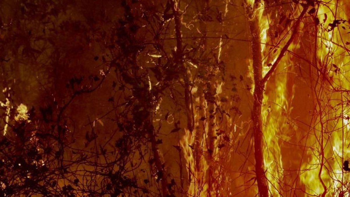
BANJARBARU - The Regional Disaster Management Agency (BPBD) of South Kalimantan (Kalsel) through the Sipongi application and air patrols detected a surge in hot sources related to forest and land fires (karhutla) reaching 16,220 hotspots in the local province.
Based on data from the Disaster Management Operations Control Center (Pusdalops PB) of South Kalimantan BPBD as of Friday (8/9), joint officers overcoming the area of forest and land fires reaching 2,695 hectares spread across 13 districts and cities.
"Until the first week of September, efforts to extinguish forest and land fires are still being carried out with all existing resource capabilities," said Head of Prevention and Preparedness of South Kalimantan BPBD Bambang Dedi Mulyadi as quoted by ANTARA, Friday, September 8.
Bambang said Banjarbaru City was the area most affected by forest and land fires, reaching 1,023 hectares, while the second largest area in Tanah Laut Regency was around 602 hectares.
Then Banjar Regency dominated the source of the heat, which was around 3,622 hotspots with a forest and land fires area of 505 hectares.
He revealed that the control of forest and land fires was recorded at 1,018 times, with details of 38 forest fires with an area of 167 hectares and 980 land fires with an area of 2,526 hectares.
اقرأ أيضا:
Bambang Dedi said that entering the first week of September 2023, there were four areas that were still protected from forest fires, including Tanah Bumbu, Barito Kuala, Hulu Sungai Utara, and Tapin regencies.
As of Friday night, joint officers were still making efforts to extinguish forest and land fires, namely in the national roadside area connecting Banjarbaru City and Tanah Laut Regency.
The English, Chinese, Japanese, Arabic, and French versions are automatically generated by the AI. So there may still be inaccuracies in translating, please always see Indonesian as our main language. (system supported by DigitalSiber.id)
