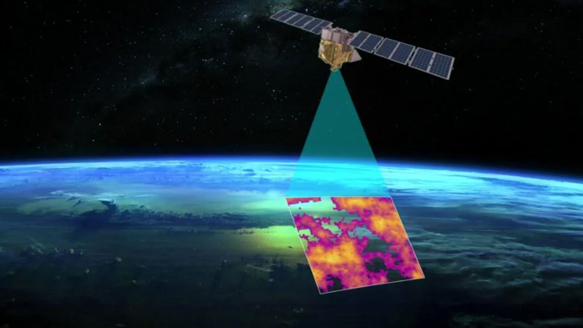


JAKARTA Google is working with the Environmental Defense Fund (EDF), a non-profit organization in the science sector, in the launch of the MethaneSAT satellite. This satellite will detect methane on Earth.
By detecting and tracking methane down to its source, Google believes that it can invite various sectors to take action to reduce emissions. If emissions can be massively reduced, global warming can be resolved.
Vice President Geo Developer and Sustainability Google Yael Maguire said that the MethaneSAT satellite would calculate the amount of methane in certain places and track emissions using an algorithm developed by Google Cloud.
This will measure methane levels in the world's largest oil and gas regions for routine analysis. MethaneSAT is very sophisticated, it has the unique ability to monitor methane sources with high emissions and small sources spread across a large area, Maguire said in the company's blog on Wednesday, February 14.
In addition to using algorithms that are constantly being developed, Maguire said that MethaneSAT will take advantage of Artificial Intelligence (AI) technology. This technology can be used to identify and create global maps of oil and gas infrastructure.
관련 항목:
-
 | TEKNOLOGI
Survei: 23% Pengguna Aplikasi Kencan Online Pernah Mengalami Penguntitan
15 Februari 2024, 09:32 -
 | TEKNOLOGI
Ian Freeman Harus Bayar Rp 54,5 Miliar untuk Korban Penipuan yang Melibatkan Bitcoin
15 Februari 2024, 09:05


The infrastructure map created by MethaneSAT data will explain the components that produce the most emissions and where the emissions come from. The two knowledge will be very useful in anticipating methane leakage.
We can display MethaneSAT data showing where methane came from. When the two maps are aligned, we can see how emissions are related to certain infrastructure and gain a much better understanding of the type of source that generically contributes the most to methane leakage," Maguire explained.
The MethaneSAT satellite will be launched in March using SpaceX's Falcon 9 rocket. This satellite will orbit Earth 15 times a day at an altitude of 350 miles. Later, MethaneSAT's data collection will be added to the Google Earth Engine.
The English, Chinese, Japanese, Arabic, and French versions are automatically generated by the AI. So there may still be inaccuracies in translating, please always see Indonesian as our main language. (system supported by DigitalSiber.id)