

JAKARTA - The Geospatial Information Agency (BIG) revealed that the One Map Policy has reached significant developments until March 2024.
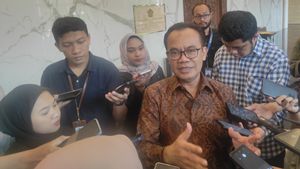
Head of the Geospatial Information Agency (BIG) Muhammad Aris Marfai revealed that the One Map Policy was progressing as reflected in the 4 main activities in the policy, namely data compilation which was recorded to have been 100 percent completed.
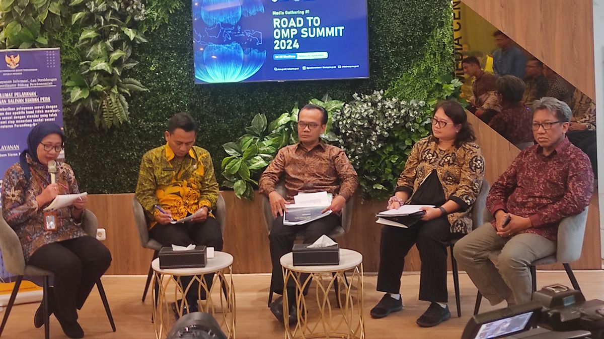
"The committee collects from each ministry so that all ministries can communicate so that they can be used for comprehensive development plans," said Aris during the Media Briefing: Road to One Map Policy (OMP) event in Jakarta, Tuesday, April 2, 2024.
Aris conveyed that the second is data integration activities which reach 90 percent and there are still 10 percent who are currently in the process of verifying the Ministry / Institute (K / L).
Third, BIG noted that the syncorization activity reached 86 percent of the overlap between thematic Geospatial Information.
Aris said, within three years, there was a decrease in overlap by 9 percent or the equivalent of 29.5 million hectares (ha) of land in Indonesia.
"This is due to the stipulation of Regional Regulations for Provincial RT/RW and New Regency RT/RW, changes to the boundaries of Forest Areas and the issuance of Licensing," he explained.
For information, the One Map Policy is a collaborative effort to realize a map that refers to one geospatial reference, one standard, one database, and one geoportal.
So that it can be a strong and accountable reference in the implementation of various special-based policy formulations.
관련 항목:
-
 | EKONOMI
Ketegangan Geopolitik Buat Rupiah Berpotensi Sentuh Rp16.000 per Dolar AS
02 April 2024, 19:27

In addition, it can be a reference for spatial planning and utilization that is integrated into spatial planning on land, sea, in earth, and air.
This policy can solve land dispute problems and overlap the use of space.
The implementation of the One Map Policy involves 24 K/L and 34 Provinces and includes 158 Thematic Maps which include the IGT on Spatial Planning, Status, Potential, Economy, Finance, Disasters, Land Licensing and Maritime Affairs.
For information, the Coordinating Ministry for Economic Affairs plans to introduce this policy to the public by holding the One Map Policy Summit 2024 on June 26-27, 2024.
The English, Chinese, Japanese, Arabic, and French versions are automatically generated by the AI. So there may still be inaccuracies in translating, please always see Indonesian as our main language. (system supported by DigitalSiber.id)