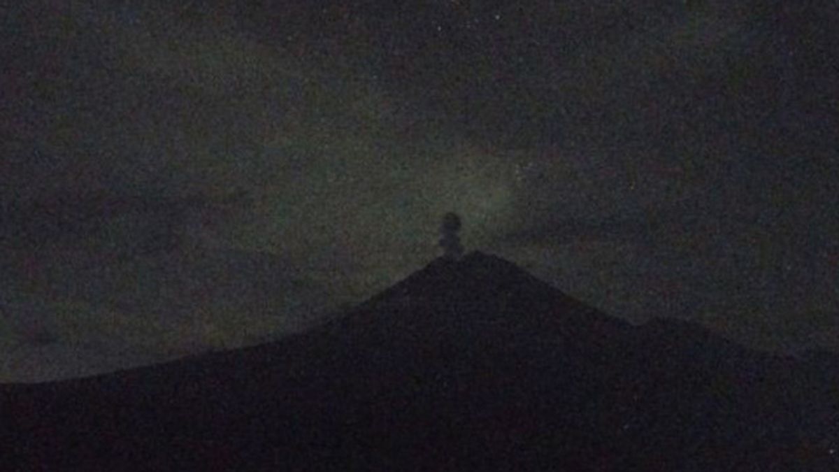


LUMAJANG - Mount Semeru on the border of Lumajang and Malang regencies, East Java erupted accompanied by the ejection of volcanic material as high as 800 meters.
"There was an eruption of Mount Semeru on March 5, 2024, at 20.39 WIB. The height of the eruption column was observed to be about 800 meters above the peak or 4,476 meters above sea level," said the officer of the Mount Semeru Observation Post, Ghufron Alwi, quoted by ANTARA, Tuesday, March 5.
The volcanic ash column was observed to be white to gray with thick intensity to the southwest. The eruption was recorded on a seismograph with a maximum amplitude of 22 mm and a duration of 136 seconds.
Previously, the eruption also occurred at 19.02 WIB with a column height of volcanic ash observed about 700 meters above the peak or about 4,376 meters above sea level.
"The ash column was observed to be white to gray with thick intensity to the south and southwest. The eruption was recorded on a seismograph with a maximum amplitude of 22 mm and a duration of 121 seconds," he said.
At 01.00 WIB there was also an eruption of Mount Semeru with a column height of ash observed about 500 m above the peak or 4,176 meters above sea level.
The ash column was observed to be white to gray with thick intensity to the southwest and west. The eruption was recorded on a seismograph with a maximum amplitude of 22 mm and a duration of 125 seconds.
관련 항목:
-
 | BERITA
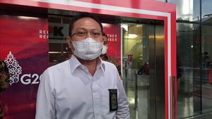
KPK Tetapkan Sekretaris MA dan Windy Idol Jadi Tersangka Dugaan Pencucian Uang
05 Maret 2024, 18:16


Based on data from the Center for Volcanology and Geological Hazard Mitigation (PVMBG), as many as 99 eruptions of Mount Semeru were recorded by officers at the Mount Semerudi Observation Post, Sumberwuluh Village, Candipuro District, Lumajang Regency.
Gunung yang memiliki ketinggian 3,676 mdpl itu masih berstatus siaga atau level III, sehingga masyarakat dilarang melakukan aktivitas apapun di sektor tenggara di sepanjang Besuk Kobokan, sejauh 13 km dari puncak (center rupsisi).
Beyond this distance, the public is asked not to carry out activities at a distance of 500 meters from the riverbank (river border) along Besuk Kobokan because it has the potential to be affected by the expansion of hot clouds and lava flows up to a distance of 17 km from the summit.
The community should not move within a 5 km radius of the crater/peak of Mount Semeru because it is prone to the danger of throwing stones (pijar).
The English, Chinese, Japanese, Arabic, and French versions are automatically generated by the AI. So there may still be inaccuracies in translating, please always see Indonesian as our main language. (system supported by DigitalSiber.id)