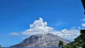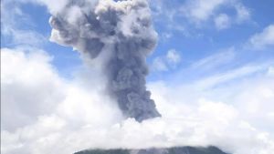


YOGYAKARTA - Mount Merapi on the border of the Special Region of Yogyakarta and Central Java reportedly emitted six hot clouds of avalanches in a row to the southwest on Friday morning.
Head of the Geological Disaster Technology Research and Development Center (BPPTKG) Agus Budi Santoso said that the series of hot clouds falling occurred from 06.59 WIB to 07.23 WIB.
"The estimated maximum sliding distance is 2,000 meters to the southwest or Bebeng River," he said as quoted by ANTARA, Friday, January 19.
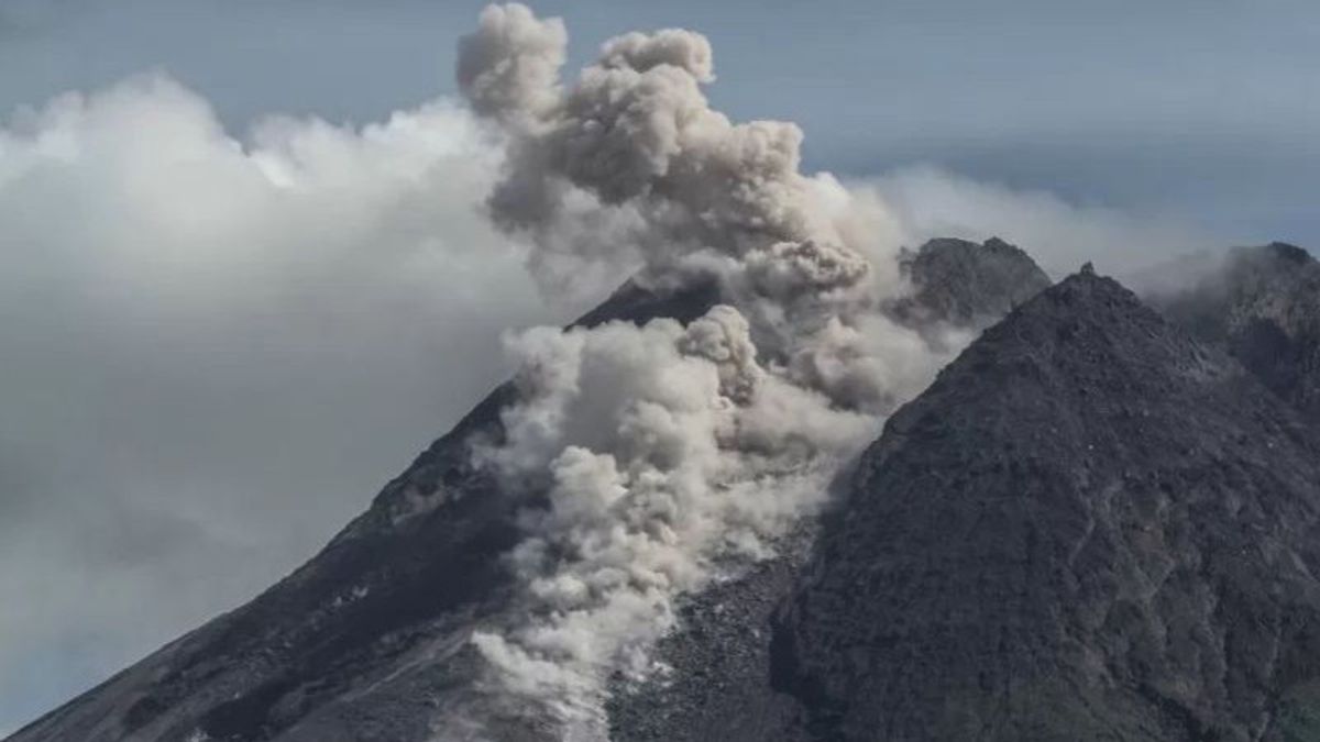
During the avalanche of hot clouds, the visual of Mount Merapi was foggy with the wind to the southeast. "People are advised to stay away from the recommended hazard areas," said Agus.
During the observation period from 00.00 WIB to 06.00 WIB, BPPTKG also recorded three hot clouds falling out of Mount Merapi with a sliding distance of 3,000 meters to the southwest.
In addition, Mount Merapi was also recorded to experience three hot cloud earthquake avalanches with an amplitude of 35-37 mm for 160.8-312.9 seconds, 41 avalanches with an amplitude of 3-34 mm for 22.6-208.6 seconds.
Next, one low-frequency earthquake with an amplitude of 13 mm for 20.9 seconds, one multi-phase earthquake with an amplitude of 8 mm for 9.3 seconds, and one distant tectonic earthquake with an amplitude of 13 mm for 102.3 seconds.
관련 항목:
-
 | BERITA
Airlangga Bantah Isu Liar Menkeu Sri Mulyani Mundur dari Kabinet Jokowi
19 Januari 2024, 11:35


Until now, BPPTKG still maintains the status of Mount Merapi on the border of Central Java and the Special Region of Yogyakarta at Level III or Alert.
To anticipate the potential danger of the eruption of Mount Merapi, BPPTKG urges the public not to carry out any activities in areas of potential danger.
The lava fall and hot clouds from Mount Merapi can have an impact on areas in the south-southwest sector which include the Boyong River (a maximum of five kilometers) and the Bedog, Krasak, and Bebeng rivers (a maximum of seven kilometers).
The English, Chinese, Japanese, Arabic, and French versions are automatically generated by the AI. So there may still be inaccuracies in translating, please always see Indonesian as our main language. (system supported by DigitalSiber.id)