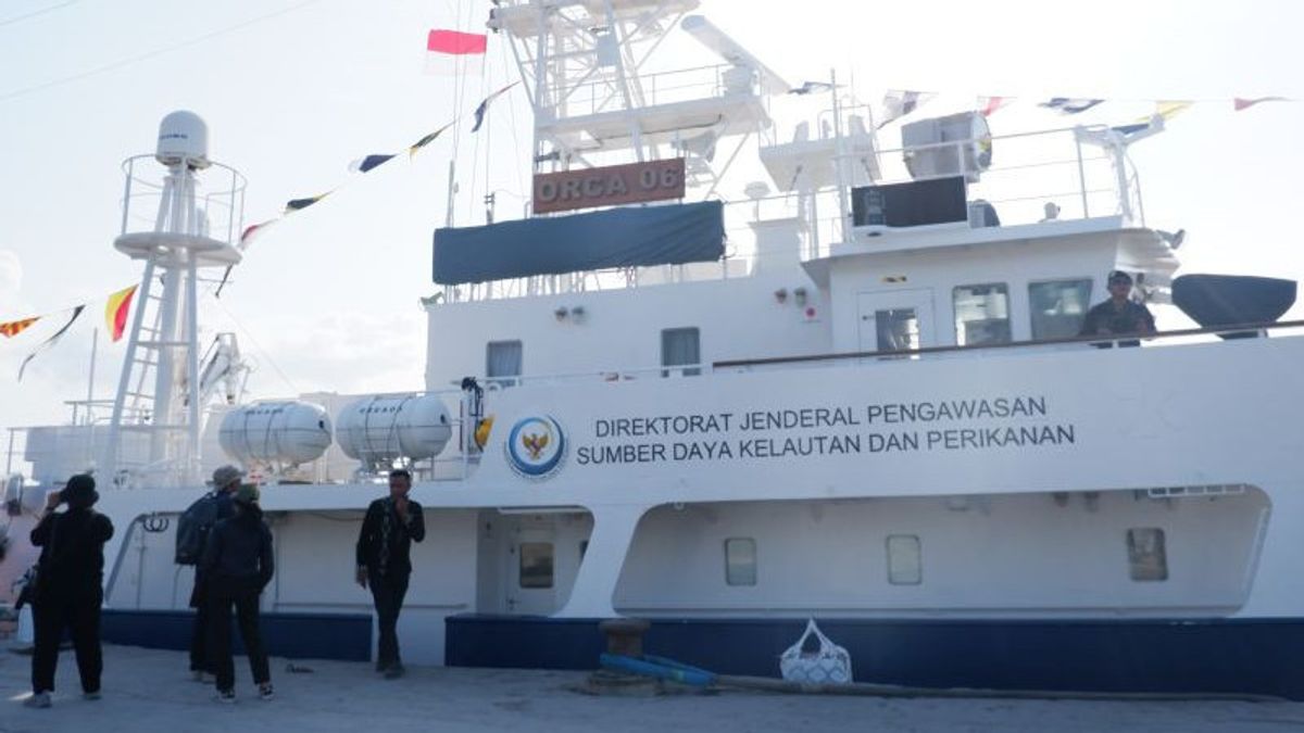


JAKARTA - The Ministry of Maritime Affairs and Fisheries (KKP) is ready to carry out a strategy to monitor fishing activities in Indonesian waters using satellites.
The Director General of Marine and Fishery Resources Supervision (PSDKP) of the KKP, Rear Admiral TNI Adin Nurawaluddin, said that the KKP is ready to implement the Integrated Surveillance System technology or integrated technology-based surveillance using satellites.
"He (Minister of KKP) developed a monitoring strategy using satellite and is currently in the process of purchasing 20 satellites so that our ship's operating pattern is on target," he said in Kupang, East Nusa Tenggara (NTT), Friday, October 13, which was confiscated by Antara.
He explained that the pattern of operation in integrated surveillance based on technology began with satellite monitoring. From the results of satellite monitoring, ships that have the potential to commit violations will be drawn.
Based on this identification, his party will use air patrol aircraft or airborne surveillance to validate the findings of violations from the satellite. If a violation is found, the supervisory ships will glide to the point of the ship.
"For example, monitoring satellite captured there is ship A according to SIPI 711, but he carried out fishing in 712, automatically violated it, now this will be monitored not according to fishing areas," he said.
With 90 days of operation and a large area of water that needs to be monitored, Adin said, this technology-based supervision can be more effective.
However, for border areas, he said the need for the presence of supervisory ships at the location, especially for areas that have not been resolved with the issue of border agreements.
"The Malacca and North Natuna Sea are still (direct supervision)," he said.
On the occasion of the National Maritime Seminar in the context of National Maritime Day which was followed online on September 29, 2023, KKP Minister Sakti Wahyu Trenggono said 20 satellites would be launched and started operating in 2024.
The launch of satellite nanois part of a marine space management strategy that is being developed by the KKP to support development based on the blue economy.
Satellite nanos will later be used to map activity and conditions at sea.
VOIR éGALEMENT:
-
 | BERITA
SYL Dijemput Paksa Meski Surat Panggilannya Besok, Febri Diansyah: Itu Hukum Acara Apa?
12 Oktober 2023, 22:21 -
 | BERITA
SYL Dijemput Paksa KPK, Pendampingan Hukum Tunggu Keputusan Surya Paloh
12 Oktober 2023, 21:30 -
 | BERITA
SYL Dijemput Paksa, Sahroni Minta Polda Metro Kebut Dugaan Pemerasan Pimpinan KPK
12 Oktober 2023, 21:45

The English, Chinese, Japanese, Arabic, and French versions are automatically generated by the AI. So there may still be inaccuracies in translating, please always see Indonesian as our main language. (system supported by DigitalSiber.id)