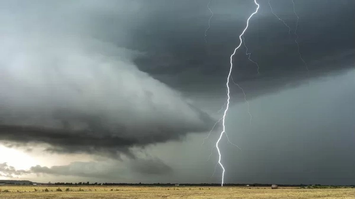
YOGYAKARTA - The Meteorology, Climatology and Geophysics Agency (BMKG) has asked the people of the Special Region (DI) of Yogyakarta to be aware of the emergence of Tropical Cyclone Herman in the Indian Ocean.
Head of the Yogyakarta BMKG Meteorological Station, Warjono, said the cyclone could trigger extreme weather in the form of rain with high intensity accompanied by strong winds. The tropical cyclone is predicted to be active until April 4, 2023.
"The Tropical Cyclone Herman affects the increase in air supply in Java, so that convective cloud activity is relatively increasing. This affects several extreme weather conditions in Java and Yogyakarta," he said during a virtual press conference attended in Yogyakarta, Friday, March 31, which was confiscated by Antara.
Referring to BMKG's monitoring on Friday, he said, the position of the tropical cyclone, which was first detected on Wednesday (March 29), was still in the Indian Ocean on the southern side of Central Java and Yogyakarta and was predicted to move to the southeast at a speed of 5 knots.
Tropical Cyclone Herman is then expected to move towards the mid-water area of Indonesia and will return to the west.
"So the position will move to the southern region of Central Java and DIY. The peak later to the east is today, at 12.00 WIB and will return to the west," he said.
The cyclone movement will bring about extreme weather such as what has happened in the DIY area in the last few days.
"It could be in the form of heavy rain accompanied by wind and even the potential for hail," he said.
اقرأ أيضا:
Warjono said that the growth of convective clouds that have the potential to have an impact on extreme weather will usually begin to form west of Mount Merapi, in the Salaman area, Magelang Regency or the Turi area, Sleman.
If it is dark, the convective clouds that appear towering or commonly called tower clouds have the potential to move towards the city of Yogyakarta, namely through the Kulon Progo area or from Sleman moving east to the city of Yogyakarta, continuing to Bantul and Gunungkidul.
Although the rain that will occur has a short duration, he said, the area that the clouds pass through will be affected by destructive winds.
In addition, hurricanes also have the potential to occur, especially in the Bantul area because they have flat areas.
Therefore, he said, if people start to see the emergence of tower clouds at around 10.00 WIB or 11.00 WIB, it is necessary to increase vigilance.
As an effort to mitigate, Warjono appealed to the public to trim trees that could potentially collapse and when heavy rains occur to avoid taking shelter under billboards or trees.
"The patterns (cloud movement, ed.) do occur locally in Yogyakarta. This needs to be watched out for so that when there are signs of extreme weather in the area, of course we will be better prepared to deal with it," he said.
The English, Chinese, Japanese, Arabic, and French versions are automatically generated by the AI. So there may still be inaccuracies in translating, please always see Indonesian as our main language. (system supported by DigitalSiber.id)


