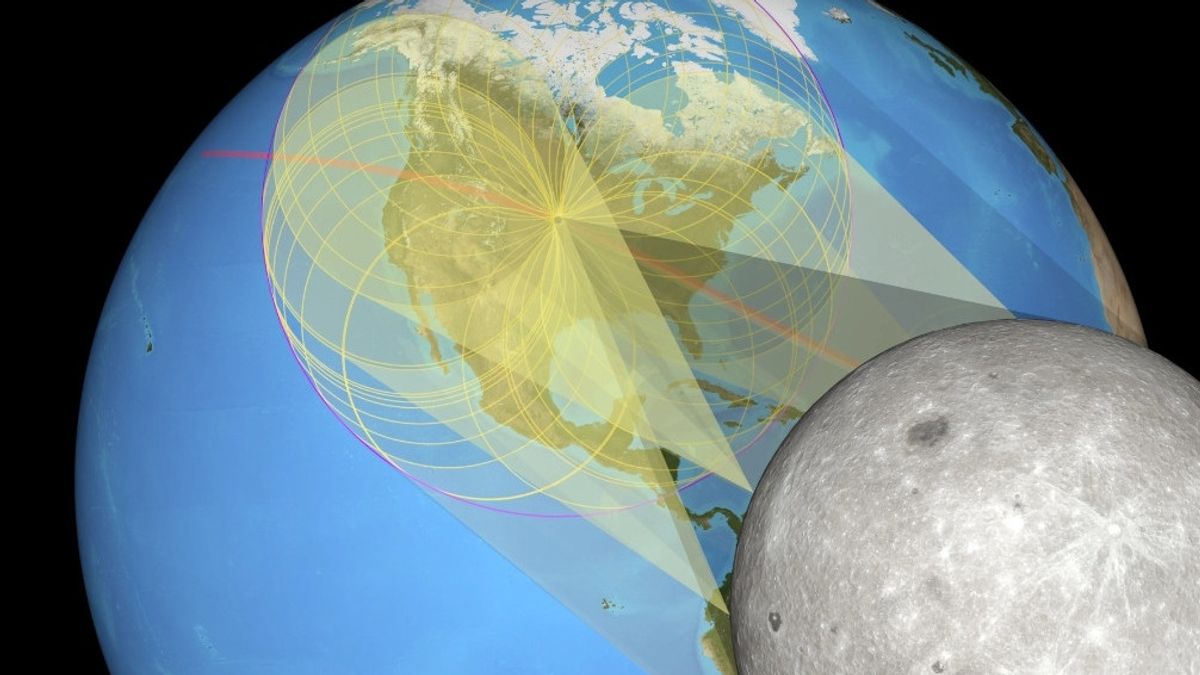
JAKARTA Thanks to data support from lunar monitoring technology, NASA managed to create a very accurate eclipse map. The results of this data calculation are claimed to be more precise than traditional calculation methods.
Before this technology existed, astronomers calculated the eclipse period using an elevation table and a moon edge plot. Although the results are quite accurate, astronomers can get better results using the Lunar Reconnaissance Orbiter (LRO).
The technology, which has been operating for 15 years, is designed to create a 3D Moon map. According to a NASA statement, lunar topographic data combined from LRO observations can create eclipse maps with higher accuracy.
Ernie Wright, the Visualization Maker at NASA, said that the total solar eclipse in 2017 was the first eclipse map to be made very well. The reason is, this map shows the true shape of the Moon's central shadow.
SEE ALSO:
This center shadow is referred to as a umbra by Wright. Umbra is a small hole in the center of the projected image of the Sun, a place that is difficult to reach by any image of the Sun. However, thanks to LRO, this form was successfully visualized properly.
The visualization produced by LRO shows something that has never been seen before, namely the true shape of the Moon's shadow and often changes over time. The visualization also features accurate lunar edge effects and Earth's terrain.
"We have published eclipse maps and films that show the true shape of the shadow center of the Moon," Wright said. "People ask, why does it look like potatoes, not smooth ovals? The short answer is that the Moon is not a really smooth ball."
The English, Chinese, Japanese, Arabic, and French versions are automatically generated by the AI. So there may still be inaccuracies in translating, please always see Indonesian as our main language. (system supported by DigitalSiber.id)


