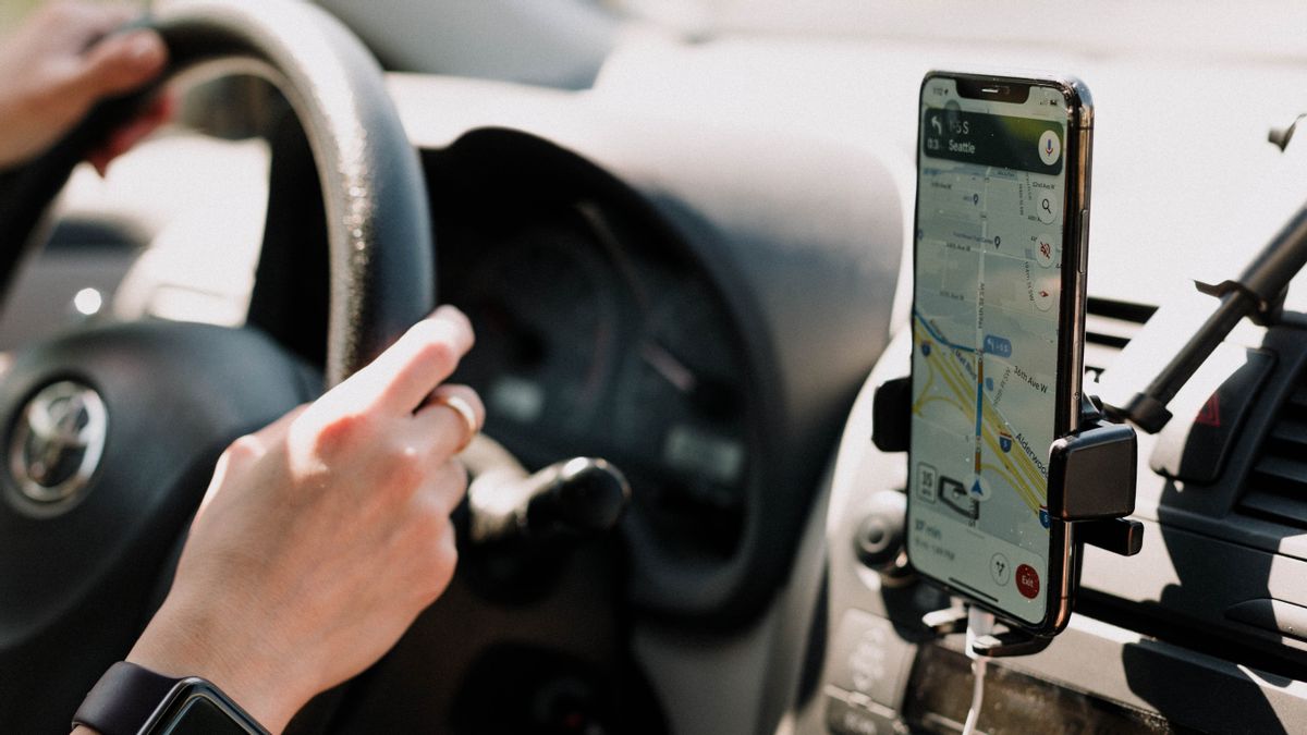
JAKARTA Global Positioning System (GPS) is a satellite-based navigation system that is useful for many people. One of the most widely used GPS systems is Google Maps.
As the name suggests, Maps can direct its users to various places using digital plans that show distance and time estimates. Although this system is very helpful, Google Maps still has difficulty operating in several places.
One of the places where GPS is difficult to operate is tunneling. Satellite signal networks may find it difficult to reach the area so that the direction from Maps becomes unclear. If this problem occurs, there is a possibility that users can get lost.
In order to prevent this problem from happening, Google launched support for the Bluetooth flare to fill the signal in the tunnel. As found by the Smartdroid, this support will appear in the form of a feature called the Bluetooth Tunnel Suar.
SEE ALSO:
This feature will appear in the Navigation Settings section. Users must scroll the screen first to find the Driving Option menu. The Bluetooth Tunnel Flare feature is in the menu.
Google Maps provides information that the feature should be turned on for, Straking Bluetooth tunnel flares in order to increase location accuracy in the tunnel. Make sure the button feature is blue.
In fact, this feature was first seen in October last year. However, this feature is still just a trial because it is only seen by some users. Although this feature has already been launched, this Bluetooth Tunnel Flare is only present on Android devices.
Ket. photo:
The English, Chinese, Japanese, Arabic, and French versions are automatically generated by the AI. So there may still be inaccuracies in translating, please always see Indonesian as our main language. (system supported by DigitalSiber.id)


