

YOGYAKARTA Google Earth service is one of the virtual globes widely used by people in various countries. Apart from the success of Google technology companies, did you know the true history of Google Earth?
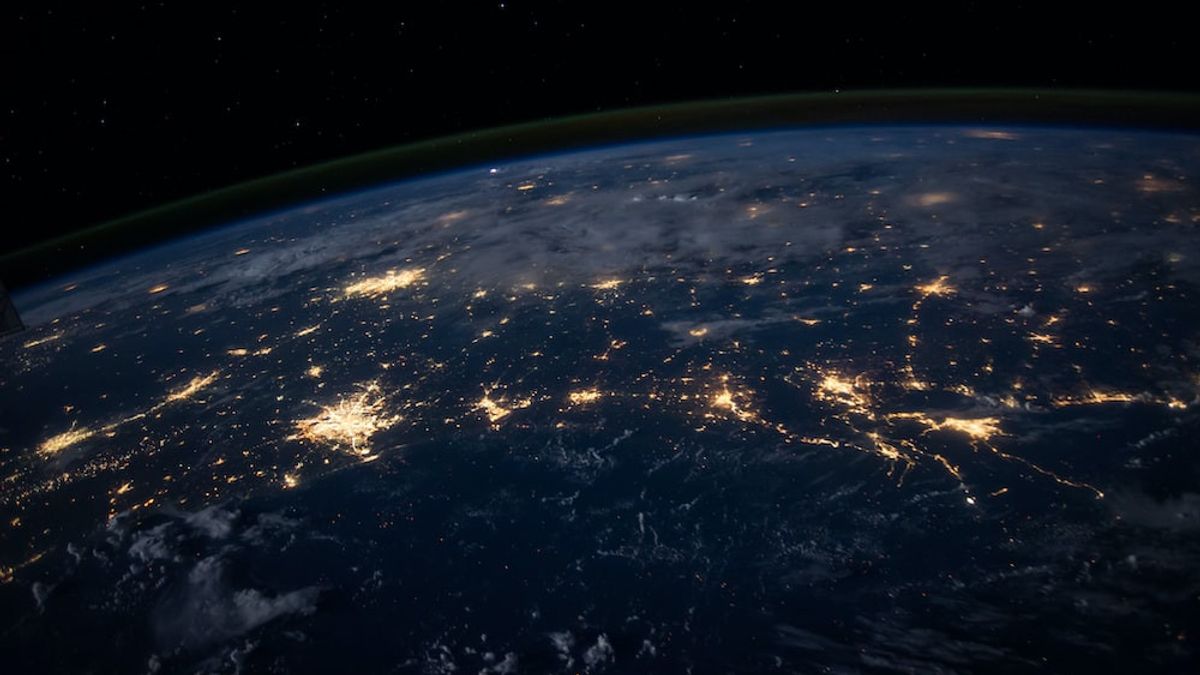
Quoted from Serc Carleton, Google Earth is a geographic rover that provides satellite and aerial imagery, topography, marine bathimetry, and other geographic data accessed via the internet. In simple terms, Google Earth allows users to explore and learn about the world through virtual globes.
Historically, Google Earth was developed by Keyhole, Inc, a software development company founded in Mountain View, California. The company originally created Earth Viewer which was released on June 11, 2001.
But long before Keyhole, Inc. was founded, the technology behind Google Earth itself had emerged in 1998 and was developed by computer company Silicon Graphics. They demonstrate the view of Earth from beyond figures that can be well enlarged on computer devices.
SEE ALSO:
-
 | TEKNOLOGI
Senator Chuck Schumer Akan Menggelar Forum Kecerdasan Buatan, Sejumlah Nama Besar Bakal Hadir
01 September 2023, 07:05 -
 | TEKNOLOGI
Gugatan Terhadap X Terkait Pemecatan Pekerja Berusia Lanjut Tetap Diteruskan
01 September 2023, 09:05 -
 | TEKNOLOGI
Apple Sedang Menguji 3D Printer untuk Membuat Bingkai Baja Jam Tangan Pintar"
01 September 2023, 08:10
Then the engineers who developed the technology set up a computer graphics company called Intrinsic Graphics. In 2000 they separated the mapping project in software from a new company called Keyhole.
Quoted from the Britanica website, Keyhole is funded by the US government's National Image and Mapping Agency with venture capital from the Central Intelligence Agency, In-Q-Tel. Keyhole products were originally used by Governments, particularly related to military and intelligence missions, as well as used by CNN news media during broadcasts.
But in 2004, Google acquired Keyhole, including Earth Viewer products. Despite being acquired in that year, Google was only released to the general public in 2005 under a new name, Google Earth.
The launch of Google Earth certainly attracts public attention, especially related to virtual global media and about geospatial technology and applications around 2005 and 2006. Through Google Earth users can see houses, cars, road signs, and so on. Users can also see certain geographic conditions with different resolutions.
Although welcomed, Google Earth also had time to reap cons, especially regarding public privacy. The reason is, in Google Earth, a view of the house window is displayed, which includes photos of people sunbathing in front of their homes. Because of these protests, Google then provided additional features to blur houses, faces, and vehicle number plates automatically.
Google Earth became more popular after 2008, in October to be precise, it released apps for the iPhone and CONTROL Touch. With the support of a mobile accelerometer (motion detector) technology on Apple's portable devices, Google Earth will adjust the perspective of a three-dimensional map when the device is tilted.
Google Earth's Fitut
Google continues to update their Google Earth virtualglobe feature. Even now users can enjoy this feature for various purposes. Some of the features that can be used are as follows.
This feature allows users to view buildings and geographical conditions with 3D views. This feature even existed in 2007. Google chose Hamburg as the first city to be displayed in 3D.
Google Earth provides information about the condition of the earth's crust or plates through the history imagery feature in the Earth Seaflour feature and can be downloaded on Earth Gallery. This feature will provide information about the image of the earth's surface in the previous year.
One of the benefits of this feature is that users can find out the height of an area through the application.
Users can find out the temperature of the earth based on its depth. Of course this feature is not used by the general public but can be used as one of the research and knowledge materials.
That's information related to Google Earth's history. Visit VOI.ID to get other interesting information.
The English, Chinese, Japanese, Arabic, and French versions are automatically generated by the AI. So there may still be inaccuracies in translating, please always see Indonesian as our main language. (system supported by DigitalSiber.id)


