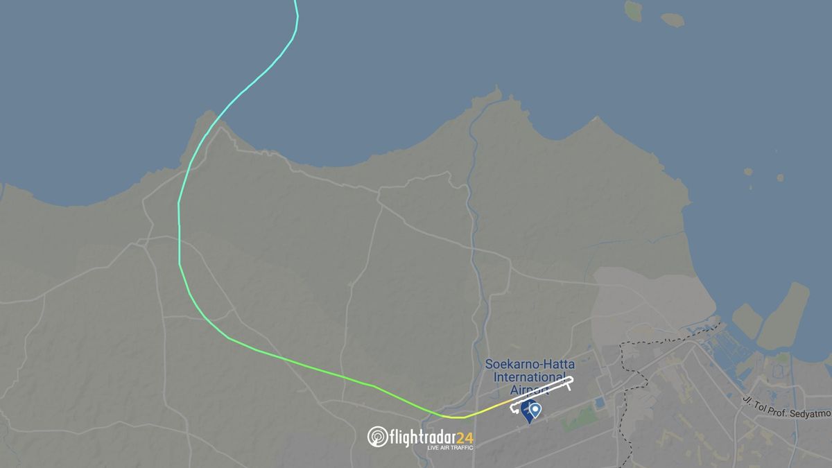


JAKARTA - The world of Indonesian aviation is grieving again. Sriwijaya Air plane with flight number SJ-182 reportedly crashed on Saturday January 9 in the waters of the Thousand Islands.
When an airplane crash like this occurs, the public's attention usually turns to flight data applications such as Flightradar24. This kind of service provides fairly detailed data including flight routes, flight destinations, to the type of aircraft used.
So how can Flight Radar 24 track planes in the air, including knowing the Sriwijaya Air SJ-182 that crashed? Is the data displayed by this application accurate and sufficient to reconstruct the incident?
Flightradar24 service began operating in 2006. FR24 became known to the public when the international media relied on data for this service in 2010, when the eruption of the Eyjafjallajökull volcano in Iceland caused flight disruptions in the North Atlantic and Europe.
Since then, this service has been used by various media to convey information related to aircraft, for example when MH370 disappeared on March 8, 2014 or when Lion Air JT610 crashed in 2018.
Quoting from various sources, there are three digital instruments used by Flightradar24 to obtain flight data, namely Automatic Dependent Surveillance-broadcast (ADS-B), Multilateration (MLAT), and Federal Aviation Administration (FAA).
1. Automatic Dependent Surveillance-Broadcast (ADS-B)On Sunday, Indonesian authorities said they have located the flight data recorder and cockpit voice recorder from # SJ182 and hoped to retrieve them on Monday. https://t.co/x3nigpk93Y pic.twitter.com/OHvDZaECXf
- Flightradar24 (@ flightradar24) January 10, 2021
ADS-B is the main source of aviation information that the application uses. This technology is embedded in every aircraft, but there are also some non-commercial aircraft that do not embed it for privacy reasons.
This device is used by modern commercial aircraft to obtain real-time aircraft location data from satellites, which are then forwarded to the Air Traffic Controller (ATC) to avoid collisions on a lane.
Every airplane should have this technology on board. However, there are some non-commercial aircraft that do not embed this tool for privacy reasons.
ADS-B sends a signal with a frequency of 1,090 Mhz which contains the complete data of the aircraft simultaneously. These radio signal waves are captured by the receiver device owned by Flightradar24 and then displayed through an image.
Flightradar24 has more than 20,000 ADS-B signal receivers worldwide. Since the frequency used in this wave is quite high (1090 Mhz), each receiving device can only detect signals with a radius of 400 kilometers.

Not only ADS-B, FlightRadar24 also uses Multilateration or MLAT. This technology utilizes the Time Difference of Arrival (TDOA) method. By measuring the time required to receive the signal from the aircraft with the ModeS transponder, the position of the aircraft can be estimated.
This is done based on the measurement of the distance to the two closest airports which are the reference. This technique is similar to determining the location of a cellphone user by utilizing the BTS around him.
This method is not the same as calculations performed using ADS-B technology. The resulting distance calculation results are not in the form of statistical numbers and coordinates, but a curve containing two lines. The first line is the estimated distance from the first airport which is used as a reference and the second line is the approximate distance from the second airport.
These two lines make a graph across and produce an intersection. This point is a prediction regarding the position of the detected aircraft.
Indeed, this MLAT tracking method has been widely used since World War II. This system continues to be used and is increasingly being used. One of them is the Global Positioning System (GPS) technology which adopts this method.

Apart from using sophisticated equipment such as ADS-B and MLAT, Flightradar24 also gets complete data from the Federal Aviation Administration (FAA). The FAA is the national aviation authority of the United States (US).
The agency is under the US Department of Transportation and was created to regulate and oversee all aspects of civil aviation in the US. From this institution, Flightradar24 gets accurate information about flight details such as aircraft numbers, flight schedules, and estimated time.
The data produced by the FAA itself comes from aircraft radar data which covers most of the air traffic in the US, Canada, Atlantic and Pacific Ocean regions.
Do not stop there, the FlightRadar application also takes advantage of satellite-based flight tracking. This is the latest step in the quest for global ADS-B coverage.
Satellites equipped with ADS-B collect data from aircraft outside the coverage area of the application's terrestrial ADS-B network and transmit that data to the Flightradar24 network.
The satellite-based ADS-B data available on Flightradar24 comes from a variety of providers. Due to the number of satellites supplying data and their dynamic locations, the satellite coverage varies. Generally, satellite-based ADS-B increases flight coverage over oceans where ground-based reception is not possible. Only aircraft equipped with an ADS-B transponder can be tracked via satellite.
Are FlightRadar24 Data Sources Accurate?If in percentage, the indicating number for this application is 99 percent. Yes, basically FlightRadar24 listens to the data sent by each aircraft to ATC. So the data obtained by Flightradar24 is essentially the same as the data obtained by the official aviation authorities.
Unfortunately, Flightradar24's ADS-B signal receiver is also limited, only 20,000 worldwide. The receiver covers all regions of the US, Europe, and most countries in Asia, including Indonesia.
That means, the Flightradar24 network is not comparable to the radar network that is owned by all countries in the world. There are still many areas that cannot be reached by the Flightradar24 receiver network, for example, the vast ocean.
Therefore, Flightradar24 can indeed be used as a benchmark for seeing aircraft movements. However, the data they have certainly cannot be used as a reference for reconstructing the incident where the plane lost contact or crashed.
The English, Chinese, Japanese, Arabic, and French versions are automatically generated by the AI. So there may still be inaccuracies in translating, please always see Indonesian as our main language. (system supported by DigitalSiber.id)
Most Popular Tags
#Prabowo Subianto #donald trump #2026 World Cup #venezuela #konflik timur tengahPopular


