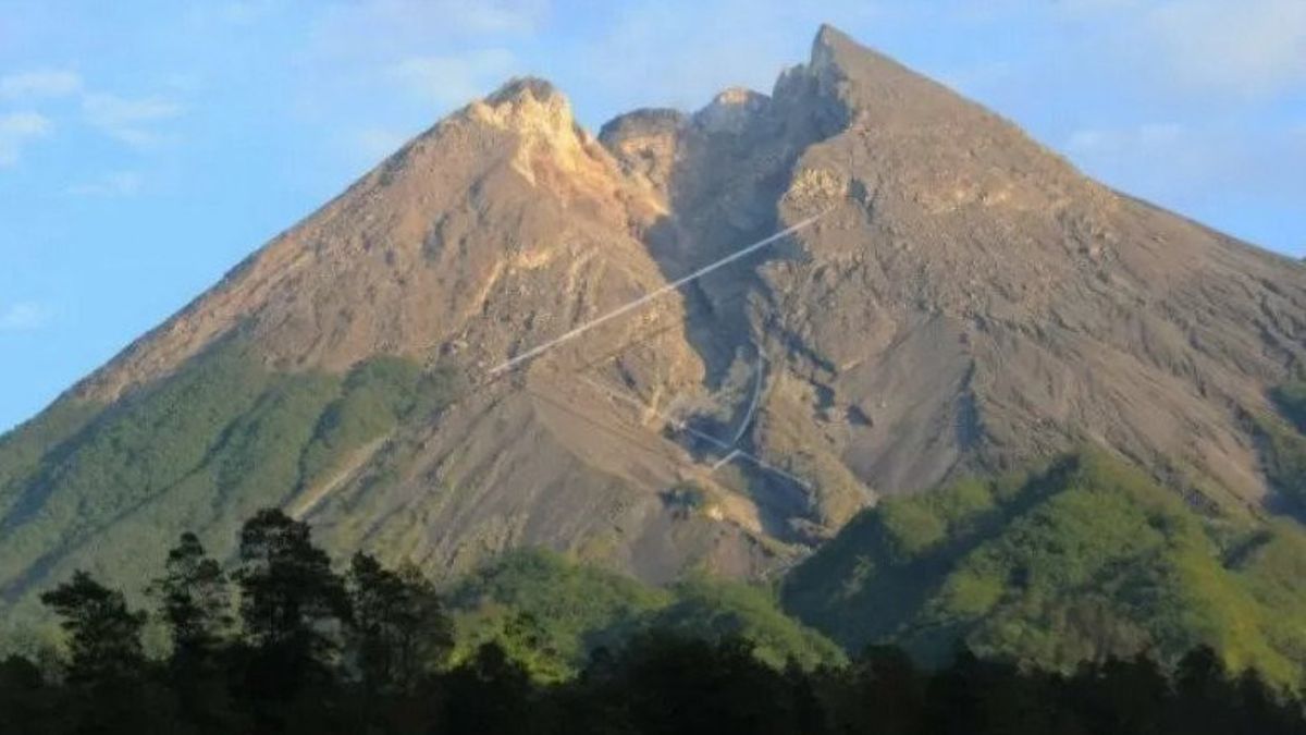


JAKARTA - The National Disaster Management Agency (BNPB) uses the Google Maps platform to map the location and potential danger of the eruption of Mount Merapi. So that people can find out which locations are prone to disasters in real-time.
This step was taken in the context of preparing a map of Mount Merapi's disaster prone areas (KRB), which can be accessed through the Cekposisi feature. Where at this time, the volcanic status of Mount Merapi is at level III or alert.
"Through early preparedness, people can avoid danger. Through the Cekposisi feature on the map, users can set to view several parameters related to the eruption of Mount Merapi," said Head of the BNPB Disaster Information and Communication Data Center, Raditya Jati in a BNPB press release Tuesday. November 10.
Through the Cekposisi feature, the public can find out the latest parameters of the predicted eruption of Mount Merapi. Including a number of places that can be accessed by the community, such as refugee posts, health facilities and schools that are in danger zones.
"Through the Check Position of Merapi feature, users can see areas that are prone to disasters level I, II, and III," he continued.
Raditya explained, the map display of Cekposisi would show each disaster area with a different color. Dark red represents KRB III, pink KRB II, and yellow KRB I.
For areas located in KRB III (red), the community is urged to be careful because the area is located in the path of hot clouds, lava flows, volcanic bombs, rock avalanches and poisonous gases. In this area, it is not recommended that anyone make permanent residence or use the area for commercial purposes.

KRB II (pink) is an area that has the potential to be affected by hot clouds, possibly lava flows, throwing stones, avalanches, heavy ash rain. Generally, people will occupy the slopes and feet of volcanoes, as well as lava flows.
Meanwhile, KRB I (yellow) is an area that has the potential to be affected by lahars or lahar floods, and is likely to be exposed to expansion of hot clouds. If there is an enlarged eruption, this area has the potential to be hit by falling material in the form of heavy ash rain and throwing rocks.
If you want to try it, users can open the Google Maps page in the mobile application. Then, users are asked to manually search whether their position is in the disaster area or not.
"This application is expected to help the people of Indonesia, especially those at the KRB Mount Merapi, to be able to prepare everything related to disaster mitigation efforts due to volcanic eruptions that can occur at any time.
05:58 Via PGM.NVisual post #Merapi visible, temperature 19.0 ° C, humidity 97% rh, calm wind, cloudy sunny weather. #statussiaga pic.twitter.com/A2cbDMpa9a
- BPPTKG (@BPPTKG) November 9, 2020
The BNPB Operations Control Center (Pusdalops) itself will continue to update information on the dangerous zone recommended by the Ministry of Energy and Mineral Resources' Agency for Geological Research and Development of Technology (BPPTKG). This application can be accessed easily, for Android and iOS users.
Through a browser1. Open a browser on your phone.
2. Type bit.ly/CekPosisiMerapi.
3. Later you will be directed to the KRB map which is connected to Google Maps.
4. Click, open to auto save the link on the map.
5. Then pay attention to your location. After viewing the map, make sure you are outside the standby zone.
Through the Mobile Application1. Open the bit.ly/CekPosisiMerapi link in the browser.
2. Click the empty white box in the upper right corner.
3. Select the Google account that will be used to open the map.
4. The map to check the position of Merapi will appear in the Google Maps application.
5. Click the position mark of your location to see whether your current position is in a vulnerable area or not.
The English, Chinese, Japanese, Arabic, and French versions are automatically generated by the AI. So there may still be inaccuracies in translating, please always see Indonesian as our main language. (system supported by DigitalSiber.id)
Most Popular Tags
#Prabowo Subianto #donald trump #2026 World Cup #bgn #konflik timur tengahPopular


