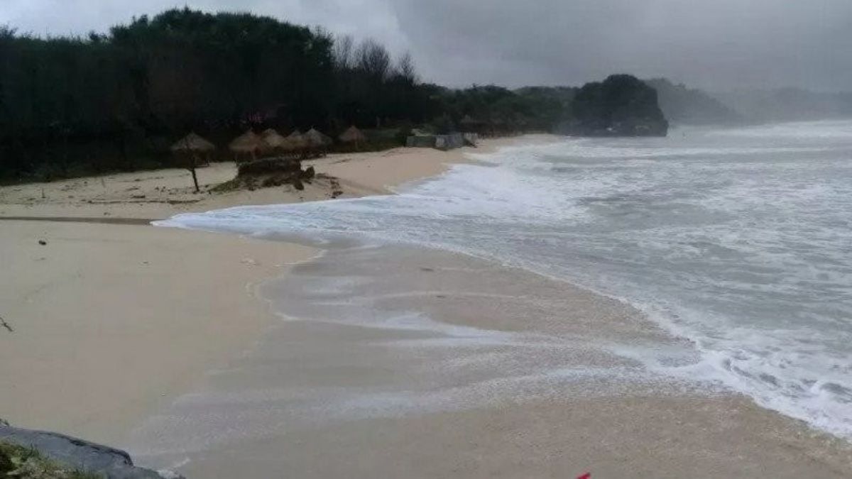


JAKARTA – The occurrence of an earthquake originating from the ocean with the Sunda Strait and the southern waters of western Java needs to be watched out for. The BMKG Earthquake and Tsunami Mitigation Coordinator, Daryono, said that the megathrust segment of the Sunda Strait is one of the seismic gap zones in Indonesia where for hundreds of years there has not been a major earthquake, so it should be watched out for.
"The Ujung Kulon earthquake, Banten yesterday was actually not a real threat because the megathrust segment of the Sunda Strait is capable of triggering an earthquake with a targeted magnitude of 8.7 and this can happen at any time, this is the real threat," said Daryono in his short message received in Jakarta, Saturday, January 15th.
He said that until now there is no technology that can predict when an earthquake will occur. Therefore, with the condition of hundreds of years that there has not been a major earthquake in the Sunda Strait, it is certainly worth watching out for. The reason is that the epicenter of the earthquake was between two major earthquake locations that damaged and triggered a tsunami, namely the Pangandaran earthquake of magnitude 7.7 in 2006 and the Bengkulu Earthquake of magnitude 8.5 in 2007.
Based on historical records of earthquakes and tsunamis, tsunamis are frequent in the Sunda Strait region, and the Sunda Strait Tsunamis in 1722, 1852, and 1958 were caused by earthquakes.
SEE ALSO:
-
 | BERITA
Mungkinkah Tanda-Tanda Alam? Geger Lintang Muncul di Bibir Pantai Sebelum Gempa Banten
15 Januari 2022, 10:45 -
 | BERITA
Ridwan Kamil Siapkan 240.000 Liter Minyak Goreng untuk Operasi Pasar, Dijual Rp14 Ribu
15 Januari 2022, 11:40


Then, the Tsunami in 416, 1883, 1928, 2018 was related to the eruption of Mount Krakatoa. While the tsunamis of 1851, 1883, and 1889 were triggered by avalanche activity.
Daryono said that strong earthquakes and tsunamis are natural processes that cannot be stopped, even predicting when they will occur is also not possible.
"However, in the uncertainty of when it will occur, we can still prepare concrete mitigation efforts such as building earthquake-resistant buildings, modeling earthquake and tsunami hazards, then using this model as a mitigation reference," he said.
The need for regional planning based on earthquake and tsunami risk, preparing evacuation routes, installing evacuation signs, building evacuation sites, practicing evacuation/drilling on a regular basis, including self-evacuation education.
"In addition, BMKG will also continue to improve the performance of faster and more accurate tsunami early warnings," said Daryono.
The English, Chinese, Japanese, Arabic, and French versions are automatically generated by the AI. So there may still be inaccuracies in translating, please always see Indonesian as our main language. (system supported by DigitalSiber.id)


