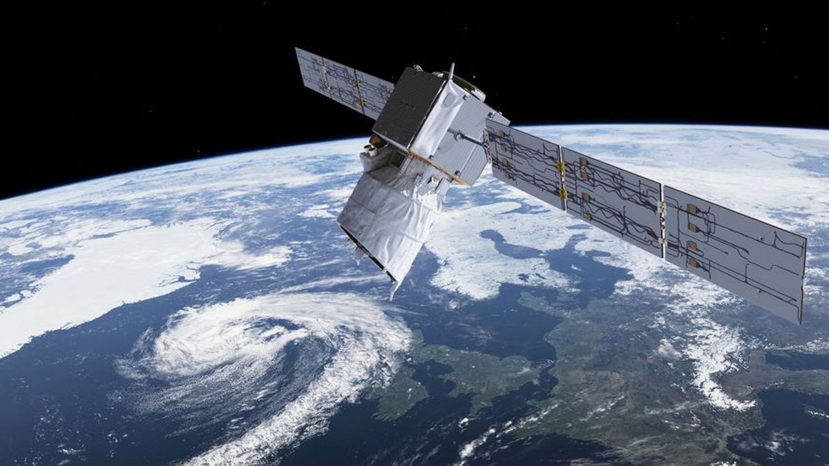
JAKARTA - The European Space Agency has announced plans to build a constellation of satellites that will measure greenhouse gas emissions with extremely high accuracy from space. They will also combine it with computer modeling to determine the man-made sources of the emissions.
This is not the first time satellites have been brought into the climate change dialogue. Scientists have used satellite data to study weather patterns, forest loss, melting glaciers and polar ice caps, draining water bodies, bleaching coral reefs, wildlife migration, and more.
The ESA has played an important role in the study. In August this year, the Intergovernmental Panel on Climate Change (IPCC) published a very important report on climate change and the urgent need for mitigation measures.
The ESA's Climate Change Initiative (CCI), which handles several satellite missions, was cited as a source for conducting the research. That same month, Google Earth got a Timelapse feature that combines 24 million satellite photos taken over the past 37 years and serves as a reminder of how much Earth's climate has changed over that duration.
At the ongoing United Nations Climate Change Conference (COP26) in Glasgow, which is also attended by Indonesian President Joko Widodo, ESA announced that it is building a constellation of satellites to monitor man-made carbon dioxide and methane emissions.
The #ClimateChange clock is ticking faster in #Greenland 🕐🧊
Research from @esa_cryosat mission shows that extreme ice melting events in the region have become more frequent and more intense over the past 40 years, raising sea levels: https://t.co/M9hffL1YVn#NoPlanetB #COP26 pic.twitter.com/pxiIOrGVL8
— ESA EarthObservation (@ESA_EO) November 3, 2021
The satellite constellation is being developed in partnership with the European Organization for the Exploitation of Meteorological Satellites as part of a new CO2 Monitoring and Verification Support (CO2MOVS) program to study greenhouse emissions resulting from human activities.
Unlike some billionaires who build constellations of satellites to sell internet connectivity, ESA says its mission will help to tackle climate challenges by providing concrete data on emissions of harmful anthropogenic gases.
SEE ALSO:
The European Space Agency is also developing a satellite as part of the Copernicus Atmosphere Monitoring Service (CAMS) observation program. They claim that the planned mission will provide carbon and methane concentration data with an unprecedented level of detail and accuracy.
In fact, the planned satellite constellation will be able to provide global coverage in just a few days. It can also identify specific sources, such as power plants or fossil fuel production sites, that produce greenhouse gases. In comparison, the International Space Station completes about 15-16 orbits around Earth each day.
The space agency said information captured by its satellite constellation would be combined with Earth system modeling and CAMS assimilation data to provide consistent and reliable information on greenhouse gas emissions.
ESA noted that the core elements of the prototype (CO2MOVS) will be ready by the end of 2023, and the system will be fully operational by 2026. Interestingly, ESA is collaborating with NASA on a mission involving a Sampling Lander that is planned to take off in 2026 and will land on Mars. in 2028 near the Jezero crater which was once full of water.
The English, Chinese, Japanese, Arabic, and French versions are automatically generated by the AI. So there may still be inaccuracies in translating, please always see Indonesian as our main language. (system supported by DigitalSiber.id)


