

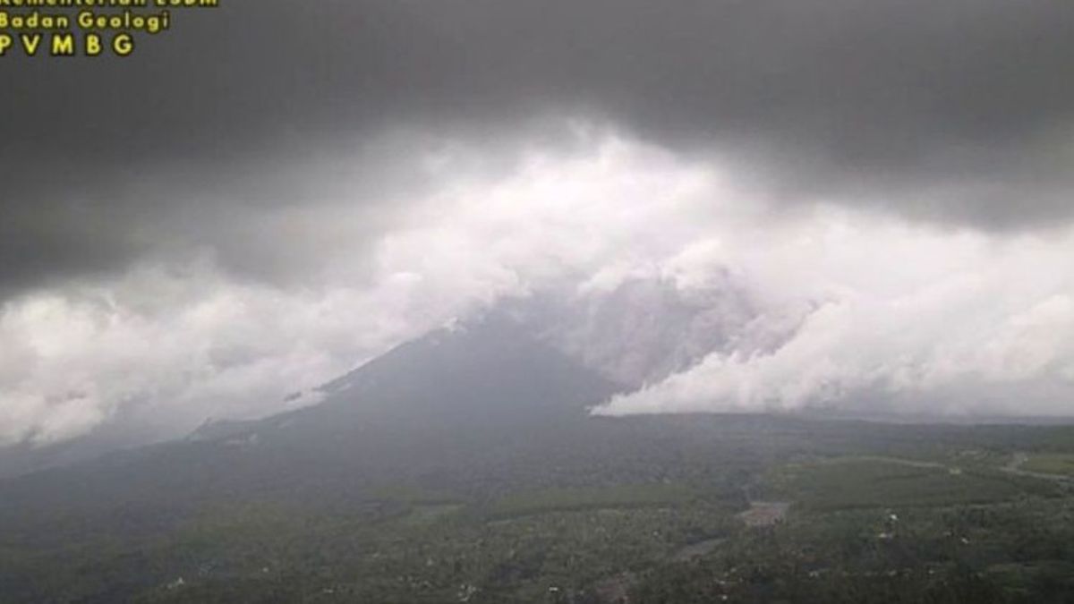


LUMAJANG - Mount Semeru, which has a height of 3,676 meters above sea level (msl), erupted accompanied by hot clouds falling with a glide distance of 4 kilometers from the Mahameru peak on Friday afternoon.
"There is a hot cloud with a glide distance of 4,000 meters and the eruption is still ongoing while the report is being made," said Mount Semeru Observation Post Officer, Sigit Rian Alfian, as reported by ANTARA, Friday, January 9.
The distance of the hot cloud slide was reported to stop at a distance of 5 kilometers from the peak based on CCTV monitored by officers at 16.01 WIB.
According to him, the eruption of Mount Semeru occurred at 15.13 WIB with the height of the observed eruption column of approximately 2,000 meters above the peak (5,676 meters above sea level).
"The observed ash column is gray with a thick intensity leaning towards the north and northeast. The eruption was recorded on the seismogram with a maximum amplitude of 22 mm and a temporary duration of about 19 minutes 52 seconds," he said.
Currently, Mount Semeru is at Level III Status (Alert), so the Center for Volcanology and Geological Hazard Mitigation (PVMBG) has provided a number of recommendations, namely that the public should not carry out any activities in the southeast sector along Besuk Kobokan, as far as 13 km from the peak (center of the eruption).
"Outside this distance, the public does not carry out activities at a distance of 500 meters from the river bank (river border) along Besuk Kobokan because they have the potential to be hit by the expansion of the hot cloud and lava flow up to a distance of 17 km from the peak," he said.
He also appealed to the public not to carry out activities within a radius of 5 km from the crater / peak of the Semeru Volcano because they are prone to the danger of stone throwing (pijar).
The public must also be aware of the potential for hot clouds, lava ejection, and lahar along the river/valley flows upstream of the Semeru Volcano peak, especially along Besuk Kobokan, Besuk Bang, Besuk Kembar, and Besuk Sat, as well as the potential for lahar in small rivers which are tributaries of Besuk Kobokan.
The English, Chinese, Japanese, Arabic, and French versions are automatically generated by the AI. So there may still be inaccuracies in translating, please always see Indonesian as our main language. (system supported by DigitalSiber.id)
Most Popular Tags
#Prabowo Subianto #donald trump #firearm #8791 #giias 2026Popular


